
1967 Map of Mahogany Butte
USGS Topo · Published 1971About this map
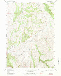
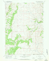
The Nowood River carves a winding path through this corner of Washakie County, Wyoming, serving as the central drainage for a series of dramatic canyon systems. In the late 1960s, this area remained largely a working rangeland, characterized by its reliance on seasonal water sources like the Need Water Reservoir and the drainage of Little Canyon Creek. The presence of the Upper Nowood Sch and the Hampton Ranch Airstrip highlights the infrastructure of a sparsely populated ranching community, where long distances necessitated local educational facilities and private aviation. Transportation is dominated by the Upper Nowood Road and a network of jeep trails that navigate the broken terrain leading toward Mahogany Butte. The convergence of several named forks, including Elder Box Creek, Redbank Creek, and Cherry Creek, illustrates the complex hydrological layout of the eastern Big Horn Basin foothills.
Find a feature on this map
18 named features on this map. Tap any name to fly to it.
Don’t see what you’re looking for? This feature index may not catch every label — zoom into the map to look around manually.
Map Details
Editions of this 1967 Mahogany Butte Map
2 editions found
Other maps of this area

1955 · Arminto
USGS Topo · 1:250,000

1958 · Arminto
USGS Topo · 1:250,000

1962 · Arminto
USGS Topo · 1:250,000

1966 · Big Trails
USGS Topo · 1:24,000
1966 · Tallon Spring
USGS Topo · 1:24,000

1966 · Indian Creek
USGS Topo · 1:24,000
1967 · Cornell Gulch
USGS Topo · 1:24,000

1967 · Horse Butte
USGS Topo · 1:24,000
1967 · Lightning Ridge
USGS Topo · 1:24,000
1967 · Cherry Creek Hill
USGS Topo · 1:24,000