Old Maps of Buckhorn, Wyoming for Hiking & Exploration
Hike through history with 13 historic maps of Buckhorn. Explore old trails, ghost towns, and forgotten backroads — perfect for outdoor adventurers and local explorers.
- Rediscover forgotten places: Map out old mining camps, roads, and footpaths that no longer exist on modern maps.
- Layer with modern tools: Combine with LiDAR or satellite views to plan hikes through historical terrain.
- Made for exploration: Popular among hikers, overlanders, and local history lovers.
Use these maps to find adventure and explore the hidden past of Buckhorn.
Buckhorn, WY maps
(13)- 1898 Map of Sundance
 1898 Sundance1898 Print · USGSNorthwestern Wyoming and the Black Hills border come alive in the 1890s, when Sundance served as a key regional hub. Genealogists and local historians can trace early wagon routes connecting settlements like Manhattan, Welcome, and Inyankara.
 - 1902 Map of Sundance
 1902 Sundance1902 Print · USGSThe Wyoming and South Dakota borderlands come into focus at the turn of the century as ranching and early mining outposts take hold. Genealogists and historians can trace family-named sites like Mc Creadys Ranch and early settlements including Manhattan and Buckhorn.4 unique versions available
 - 1954 Map of Gillette, 1975 Print
 1954 Gillette1975 Print · USGSGillette and the northeast Wyoming ranching country are captured here in the mid-1950s as coal and bentonite mining shaped the local economy. Genealogists can trace family landmarks like the Bethlehem Church, Wellman School, and early settlements along the Chicago Burlington and Quincy RR.
 - 1955 Map of Gillette, 1976 Print
 1955 Gillette1976 Print · USGSNortheastern Wyoming in the mid-twentieth century is captured here as the energy and ranching landscape began to shift. Genealogists and historians can trace the foundations of local communities through sites like Wyodak, the Pleasantdale Community Building, and landmarks like Devils Tower National Monument.
 - 1958 Map of Gillette
 1958 Gillette1958 Print · USGSNortheastern Wyoming and the Black Hills are captured here in the late fifties, showcasing a landscape of high-plains ranching and emerging energy production. Researchers can trace the rail-side growth of Gillette and find historic rural landmarks like the Wyodak Coal Mine, Bethlehem Church, and Devils Tower National Monument.2 unique versions available
 - 1958 Map of Four Corners, 1960 Print
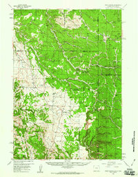 1958 Four Corners1960 Print · USGSThe Black Hills borderlands in the late fifties reveal a high-prairie landscape where Wyoming meets South Dakota. Genealogists and researchers can trace family landmarks and rural life at the St Albert Ch, Boyd Cem, and the settlement at Four Corners.2 unique versions available
 - 1962 Map of Gillette
 1962 Gillette1962 Print · USGSHigh plains ranching and coal mining dominate the Powder River Basin in the early sixties. Genealogists can trace rural communities through landmarks like the Bethlehem Church, Lake School, and settlements such as Moorcroft and Sundance.
 - 1979 Map of Sundance
 1979 Sundance1979 Print · USGSThe Black Hills borderlands in the late 1970s show a region of high peaks and vital rail corridors connecting Wyoming to South Dakota. Researchers can trace historic routes and industry through settlements like Clay Spur, Upton, and the Historical Monument.2 unique versions available
 - 1984 Map of Buckhorn
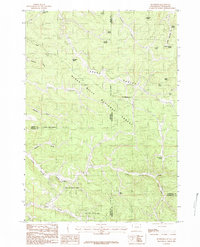 1984 Buckhorn1984 Print · USGSThe Black Hills highlands at the Wyoming and South Dakota border are captured here in the early 1980s. Researchers can locate the Hardy Campus, the settlement of Buckhorn, and numerous family-named landmarks like McInerney Spring.2 unique versions available
 - 2012 Map of Buckhorn, 2012 Print
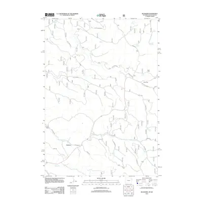 2012 Buckhorn2012 Print · USGSThe high country near the South Dakota border appears here in the early twenty-first century, centered on the small settlement of Buckhorn. Local historians can trace the network of forest roads and named water sources like Michelson Spring, McInerny Spring, and the prominent Laird Peak.
 - 2015 Map of Buckhorn, 2015 Print
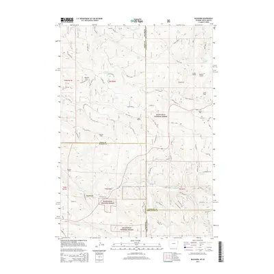 2015 Buckhorn2015 Print · USGSThe Wyoming-South Dakota borderlands near Buckhorn are showcased here during the mid-2010s, revealing a landscape defined by forest management and rugged canyons. Genealogists and historians can trace family-named landmarks like Stanton Draw and Melquist Gulch or locate numerous mountain water sources like McInerny Spring.
 - 2017 Map of Buckhorn, 2017 Print
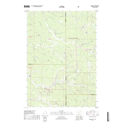 2017 Buckhorn2017 Print · USGSThe Wyoming and South Dakota borderlands come alive in the 2010s, showing the high-country settlement of Buckhorn and the surrounding forest. Researchers can trace the rugged network of deep canyons like Riflepit Canyon and natural landmarks like Laird Peak.
 - 2021 Map of Buckhorn, 2021 Print
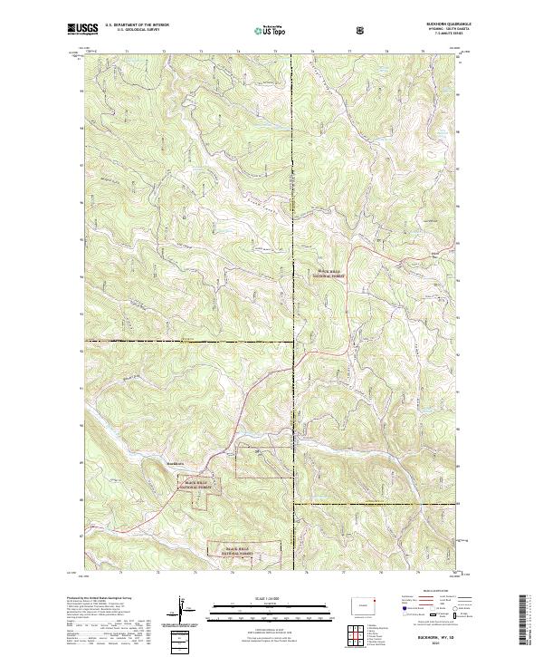 2021 Buckhorn2021 Print · USGSThe Wyoming and South Dakota borderlands come alive in this modern survey of the high-elevation Black Hills. Researchers can trace forest access routes and water sources like Buckhorn, O'Neil Pass, and the seasonal paths of Snow-3 Trl.
End of results
Showing maps 1-13 of 13
Frequently asked questions
- What are the different types of historical maps available for Buckhorn?
- What is the oldest map of Buckhorn?
- Where can I purchase historical maps of Buckhorn for my home or office?
- Where can I download high-res historical maps of Buckhorn?
- Are there historical topographic maps available for Buckhorn?
- Is there historical aerial imagery available for Buckhorn?
- Where are historical maps of Buckhorn sourced from?