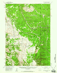
1958 Map of Four Corners
USGS Topo · Published 1960About this map
The Wyoming and South Dakota state line divides this high-country landscape, where the Black Hills National Forest dominates the eastern half of the sheet. At the junction of several primitive roads and jeep trails, the small settlement of Four Corners sits as a central point for the surrounding prairie and timberlands. Local history is anchored by the St Albert Ch and adjacent St Albert Cem, alongside the Boyd Cem further to the east. The terrain is deeply incised by drainages such as Stanton Draw and Horsethief Canyon, leading toward prominent elevations like Buckhorn Mountain and Mt Pisgah. This 1958 field-checked survey highlights the early infrastructure of the Forest Service, including the Hardy Guard Station, and the presence of localized ranching landmarks like Sanders Corral and the Horton settlement, reflecting a period of active land management and rural livestock operations.
Find a feature on this map
58 named features on this map. Tap any name to fly to it.
Don’t see what you’re looking for? This feature index may not catch every label — zoom into the map to look around manually.
Map Details
Editions of this 1958 Four Corners Map
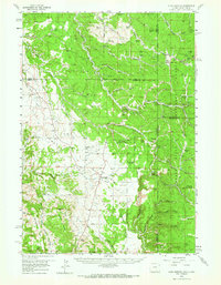
2 editions found
Other maps of this area

1894 · Deadwood
USGS Topo · 1:125,000

1896 · Harney Peak
USGS Topo · 1:125,000

1898 · Sundance
USGS Topo · 1:125,000

1899 · Newcastle
USGS Topo · 1:125,000

1900 · Spearfish
USGS Topo · 1:62,500

1901 · Harney Peak
USGS Topo · 1:125,000

1901 · Deadwood
USGS Topo · 1:125,000

1901 · Newcastle
USGS Topo · 1:125,000

1902 · Sundance
USGS Topo · 1:125,000

1915 · Spearfish
USGS Topo · 1:62,500