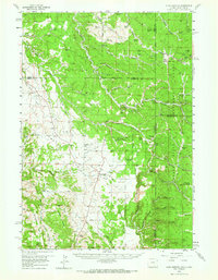
1958 Map of Four Corners
USGS Topo · Published 1966About this map
Black Hills National Forest land dominates this 1958 survey, capturing the rugged intersection of the Wyoming-South Dakota border. The landscape is defined by a dense network of water sources and narrow drainages, including Riflepit Canyon, Lost Canyon, and Stanton Draw. Human presence is marked by isolated landmarks like the Hardy Guard Station and the small settlement of Four Corners, which serves as a junction for local travel.
Find a feature on this map
67 named features on this map. Tap any name to fly to it.
Don’t see what you’re looking for? This feature index may not catch every label — zoom into the map to look around manually.
Map Details
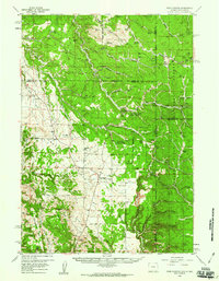
Editions of this 1958 Four Corners Map
2 editions found
Other maps of this area

1894 · Deadwood
USGS Topo · 1:125,000

1896 · Harney Peak
USGS Topo · 1:125,000

1898 · Sundance
USGS Topo · 1:125,000

1899 · Newcastle
USGS Topo · 1:125,000

1900 · Spearfish
USGS Topo · 1:62,500

1901 · Harney Peak
USGS Topo · 1:125,000

1901 · Deadwood
USGS Topo · 1:125,000

1901 · Newcastle
USGS Topo · 1:125,000

1902 · Sundance
USGS Topo · 1:125,000

1915 · Spearfish
USGS Topo · 1:62,500