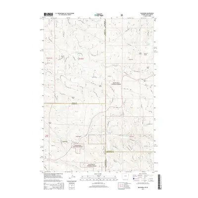
2015 Map of Buckhorn
USGS Topo · Published 2015About this map
Buckhorn sits at a critical high-plains junction within the Black Hills National Forest, where the borders of Wyoming and South Dakota meet amid a complex network of canyons and draws. This 2015 U.S. Geological Survey representation of the area reveals the intricate drainage patterns of the high country, where seasonal water sources like Michelson Spring, Valley Spring, and Crowley Spring have historically supported the livestock and timber interests of the region. The map highlights significant topographical landmarks such as Laird Peak and the passage at O'Neil Pass, which facilitate travel through the fractured landscape. The dense forest road system, including Cold Springs Rd and Revell Road, underscores the modern management of this timber-rich environment while following the natural contours of Grand Canyon and Lost Canyon. Local place names like Melquist Gulch and Stanton Draw reflect the early settler history tied to these specific drainages.
Find a feature on this map
77 named features on this map. Tap any name to fly to it.
Don’t see what you’re looking for? This feature index may not catch every label — zoom into the map to look around manually.
Map Details
Editions of this 2015 Buckhorn Map
This is the sole edition of this map. No revisions or reprints were ever made.
Other maps of this area

1894 · Deadwood
USGS Topo · 1:125,000

1898 · Sundance
USGS Topo · 1:125,000

1900 · Spearfish
USGS Topo · 1:62,500

1901 · Deadwood
USGS Topo · 1:125,000

1902 · Sundance
USGS Topo · 1:125,000

1915 · Spearfish
USGS Topo · 1:62,500

1916 · Deadwood
USGS Topo · 1:125,000

1953 · Rapid City
USGS Topo · 1:250,000

1954 · Gillette
USGS Topo · 1:250,000

1955 · Gillette
USGS Topo · 1:250,000