Old Maps of Jerome, Wyoming for Academic Research
Study the evolution of Jerome with 12 high-resolution historic maps. Whether you're teaching, researching, or modeling changes in land use, these maps provide essential visual documentation of urban, environmental, and geographic change.
- Analyze long-term change: Track patterns in development, transportation, and natural features.
- Ideal for environmental or urban studies: Support academic projects with primary historical map data.
- Use in the classroom or lab: Educators and researchers rely on these maps to bring historical context to life.
These maps are a powerful tool for teaching, research, and visualizing how Jerome has changed over the decades.
Jerome, WY maps
(12)- 1918 Map of Moorcroft
 1918 Moorcroft1918 Print · USGSNortheastern Wyoming’s ranching and railroad landscape is captured here just before the end of the Great War. Genealogists can locate nearly twenty rural schoolhouses, including the Dakota Ridge School, while following the Chicago Burlington and Quincy rail line through Thornton and Upton.2 unique versions available
 - 1954 Map of Gillette, 1975 Print
 1954 Gillette1975 Print · USGSGillette and the northeast Wyoming ranching country are captured here in the mid-1950s as coal and bentonite mining shaped the local economy. Genealogists can trace family landmarks like the Bethlehem Church, Wellman School, and early settlements along the Chicago Burlington and Quincy RR.
 - 1955 Map of Gillette, 1976 Print
 1955 Gillette1976 Print · USGSNortheastern Wyoming in the mid-twentieth century is captured here as the energy and ranching landscape began to shift. Genealogists and historians can trace the foundations of local communities through sites like Wyodak, the Pleasantdale Community Building, and landmarks like Devils Tower National Monument.
 - 1957 Map of Upton, 1959 Print
 1957 Upton1959 Print · USGSUpton and the surrounding Weston County high plains are captured here in the late fifties during a period of steady rail and industrial activity. Researchers can trace the Chicago Burlington and Quincy line past Thornton to Bentley, locating old Clay Pits and family-named features like Mc Crady Draw.2 unique versions available
 - 1958 Map of Gillette
 1958 Gillette1958 Print · USGSNortheastern Wyoming and the Black Hills are captured here in the late fifties, showcasing a landscape of high-plains ranching and emerging energy production. Researchers can trace the rail-side growth of Gillette and find historic rural landmarks like the Wyodak Coal Mine, Bethlehem Church, and Devils Tower National Monument.2 unique versions available
 - 1962 Map of Gillette
 1962 Gillette1962 Print · USGSHigh plains ranching and coal mining dominate the Powder River Basin in the early sixties. Genealogists can trace rural communities through landmarks like the Bethlehem Church, Lake School, and settlements such as Moorcroft and Sundance.
 - 1979 Map of Sundance
 1979 Sundance1979 Print · USGSThe Black Hills borderlands in the late 1970s show a region of high peaks and vital rail corridors connecting Wyoming to South Dakota. Researchers can trace historic routes and industry through settlements like Clay Spur, Upton, and the Historical Monument.2 unique versions available
 - 1984 Map of Upton East
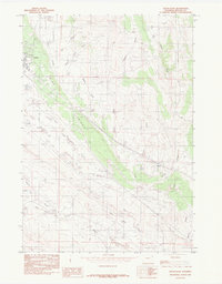 1984 Upton East1984 Print · USGSThe area surrounding Upton and the Pine Ridge escarpment is captured here in the mid-1980s, showcasing a landscape defined by ranching and resource extraction. Researchers can trace the layout of Upton, the small community of Jerome, and industrial markers like the Clay Pit and regional Pipe Line.
 - 2012 Map of Upton East, 2012 Print
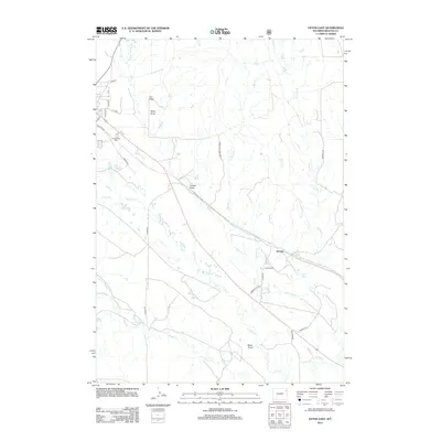 2012 Upton East2012 Print · USGSWeston County ranching and the eastern edge of Upton are captured here in the early 2000s. Genealogists and local historians can trace the rural landscape surrounding Jerome, Oliver Ranch, and the graves at Greenwood Cem.
 - 2015 Map of Upton East, 2015 Print
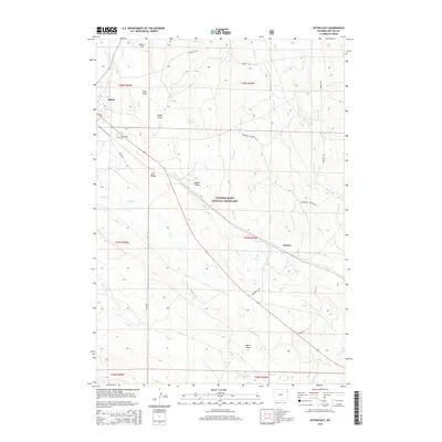 2015 Upton East2015 Print · USGSUpton and the surrounding high plains of Weston County are captured here in the mid-2010s. Local researchers can trace land features from Greenwood Cem to the settlement of Jerome, alongside landmarks like Bowl Reservoir and Pine Ridge.
 - 2017 Map of Upton East, 2017 Print
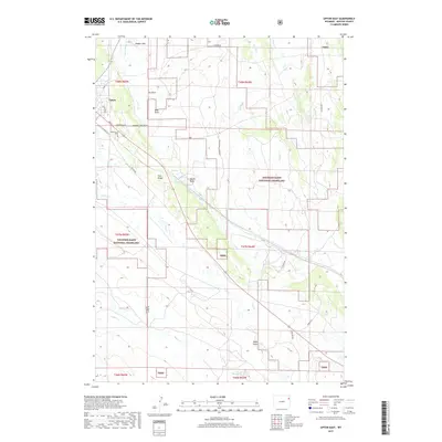 2017 Upton East2017 Print · USGSThe outskirts of Upton and the high plains of Weston County are captured here in the early twenty-first century. Genealogists and researchers can locate Greenwood Cem and trace the drainage patterns of Pine Cr and Bates Draw across the Thunder Basin National Grassland.
 - 2021 Map of Upton East, 2021 Print
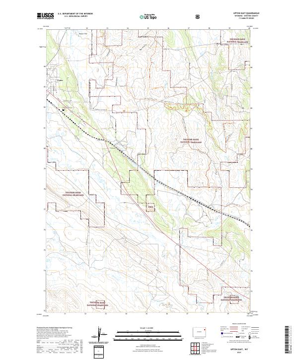 2021 Upton East2021 Print · USGSThe eastern edges of the Wyoming prairie come into focus here during the early twenty-first century, centered on the ranching community of Upton. Researchers can trace local landmarks like Greenwood Cem, the heights of Pine Ridge, and the drainage patterns of Beaver Cr.
End of results
Showing maps 1-12 of 12
Top cities near Jerome
Frequently asked questions
- What are the different types of historical maps available for Jerome?
- What is the oldest map of Jerome?
- Where can I purchase historical maps of Jerome for my home or office?
- Where can I download high-res historical maps of Jerome?
- Are there historical topographic maps available for Jerome?
- Is there historical aerial imagery available for Jerome?
- Where are historical maps of Jerome sourced from?