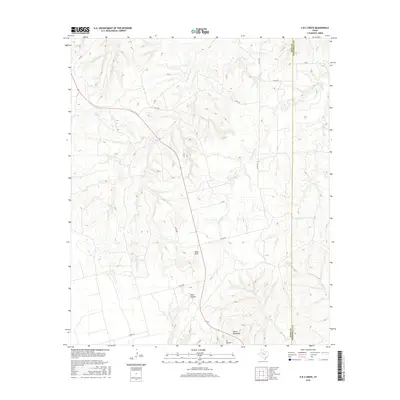
2016 Map of A B C Creek
USGS Topo · Published 2016About this map
The Double Mountain Fork Brazos River carves through the southeastern corner of this West Texas landscape, defining a region of stark elevation changes and drainage systems. This 2016 survey highlights a network of local ranch roads, such as Co RD 428 and Co RD 438, which navigate the complex terrain of the Tater Hills and the prominent Devils Backbone. Water resources are a defining characteristic of the area, evidenced by the presence of So Relle Lake and numerous drainage features including A B C Cr, Stinking Cr, and Collins Cr. The boundary between Kent and Stonewall counties runs vertically through the eastern portion of the map, illustrating how historical political lines intersect with the natural geography of Adair Canyon and Ivy Canyon.
Find a feature on this map
18 named features on this map. Tap any name to fly to it.
Don’t see what you’re looking for? This feature index may not catch every label — zoom into the map to look around manually.
Map Details
Editions of this 2016 A B C Creek Map
This is the sole edition of this map. No revisions or reprints were ever made.
Other maps of this area

1893 · Roby
USGS Topo · 1:125,000

1926 · Snyder 1-a
USGS Topo · 1:48,000

1926 · Roby 2-b
USGS Topo · 1:48,000

1931 · Rotan
USGS Topo · 1:62,500

1932 · Camp Springs
USGS Topo · 1:62,500

1954 · Lubbock
USGS Topo · 1:250,000

1954 · Big Spring
USGS Topo · 1:250,000

1958 · Big Spring
USGS Topo · 1:250,000

1968 · Double Mountains
USGS Topo · 1:24,000

1968 · Peacock
USGS Topo · 1:24,000