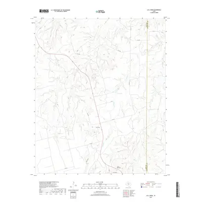
2019 Map of A B C Creek
USGS Topo · Published 2019About this map
Tater Hills and the prominent ridge of Devils Backbone dominate this western Texas landscape along the border of Kent and Stonewall Counties. The terrain is defined by a network of seasonal watercourses and drainages, most notably A B C Cr and Stinking Cr, which carve through the breaks and canyons. Isolated water features like So Relle Lake and ABC Tanks serve as critical points in this semi-arid environment, illustrating the geographic necessities of land management in the region. The map captures a transition between the elevated plateaus and the deep cuts of Ivy Canyon and Adair Canyon. This 2019 survey documents the modern rural infrastructure, showing a sparse grid of county roads including Co RD 440 and P 4278 that connect these remote family-named landmarks and land holdings across the county line.
Find a feature on this map
18 named features on this map. Tap any name to fly to it.
Don’t see what you’re looking for? This feature index may not catch every label — zoom into the map to look around manually.
Map Details
Editions of this 2019 A B C Creek Map
This is the sole edition of this map. No revisions or reprints were ever made.
Other maps of this area

1893 · Roby
USGS Topo · 1:125,000

1926 · Snyder 1-a
USGS Topo · 1:48,000

1926 · Roby 2-b
USGS Topo · 1:48,000

1931 · Rotan
USGS Topo · 1:62,500

1932 · Camp Springs
USGS Topo · 1:62,500

1954 · Lubbock
USGS Topo · 1:250,000

1954 · Big Spring
USGS Topo · 1:250,000

1958 · Big Spring
USGS Topo · 1:250,000

1968 · Double Mountains
USGS Topo · 1:24,000

1968 · Peacock
USGS Topo · 1:24,000