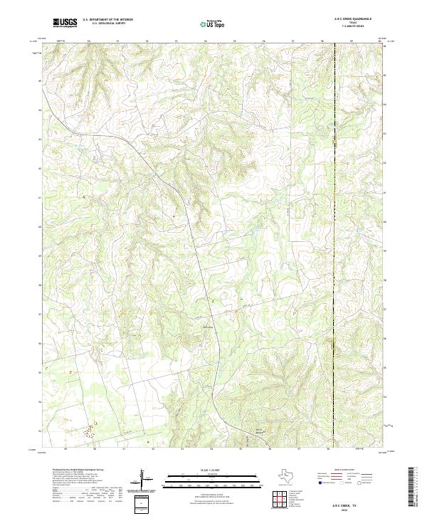
2022 Map of A B C Creek
USGS Topo · Published 2022About this map
So Relle Lake sits at the heart of this West Texas landscape, a region defined by complex drainage patterns and dramatic elevation changes. The land is marked by the Devils Backbone and the Tater Hills, showcasing the erosive forces that have carved out Adair Canyon and Ivy Canyon. A sparse network of county roads, including Co RD 440 and Co RD 438, provides the only access across the rugged terrain where the boundaries of Kent and Stonewall Counties meet. Water features such as Stinking Cr and A B C Cr snake through the canyons, while the presence of ABC Tanks suggests local industrial or agricultural activity in this isolated territory. The map illustrates a landscape where cattle ranching and water management are the primary drivers of human geography.
Find a feature on this map
17 named features on this map. Tap any name to fly to it.
Don’t see what you’re looking for? This feature index may not catch every label — zoom into the map to look around manually.
Map Details
Editions of this 2022 A B C Creek Map
This is the sole edition of this map. No revisions or reprints were ever made.
Other maps of this area

1893 · Roby
USGS Topo · 1:125,000

1926 · Snyder 1-a
USGS Topo · 1:48,000

1926 · Roby 2-b
USGS Topo · 1:48,000

1931 · Rotan
USGS Topo · 1:62,500

1932 · Camp Springs
USGS Topo · 1:62,500

1954 · Lubbock
USGS Topo · 1:250,000

1954 · Big Spring
USGS Topo · 1:250,000

1958 · Big Spring
USGS Topo · 1:250,000

1968 · Double Mountains
USGS Topo · 1:24,000

1968 · Peacock
USGS Topo · 1:24,000