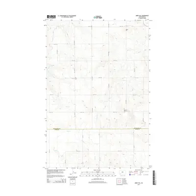
2014 Map of Abbey Hill
USGS Topo · Published 2014About this map
The rolling plains along the border of Hettinger and Adams County are defined by a network of seasonal drainages and local landmarks. The central terrain is anchored by Abbey Hill in the northeast and Anderson Butte further south, providing rare vertical relief in this prairie landscape. Waterways like Indian Cr, Dayton Cr, and Spring Cr carve subtle valleys through the township-and-range grid, reflecting the vital role of drainage in the region's agricultural layout. For local history researchers, the Alden Cem serves as a key genealogical anchor, situated near the intersection of several section-line roads such as 75th St SW. The map documents a sparsely populated rural landscape where the placement of roads and the persistence of family-named landmarks illustrate the enduring settlement patterns of southwestern North Dakota.
Find a feature on this map
14 named features on this map. Tap any name to fly to it.
Don’t see what you’re looking for? This feature index may not catch every label — zoom into the map to look around manually.
Map Details
Editions of this 2014 Abbey Hill Map
This is the sole edition of this map. No revisions or reprints were ever made.
Other maps of this area

1953 · Dickinson
USGS Topo · 1:250,000

1957 · Dickinson
USGS Topo · 1:250,000

1966 · Mott NW
USGS Topo · 1:24,000

1966 · Regent
USGS Topo · 1:24,000

1966 · Mott SW
USGS Topo · 1:24,000

1973 · Liens Dams
USGS Topo · 1:24,000

1973 · Havelock
USGS Topo · 1:24,000

1973 · Abbey Hill
USGS Topo · 1:24,000

1974 · Pearl Butte NW
USGS Topo · 1:24,000

1980 · Mott
USGS Topo · 1:100,000