
1973 Map of Abbey Hill
USGS Topo · Published 1977About this map
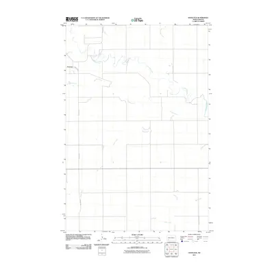
The rolling plains of the Missouri Plateau are clearly defined in this early 1970s survey, centered on the boundary between Hettinger and Adams counties. Agricultural life dominates the landscape, organized within the townships of Alden, Chilton, Maine, and Indian Creek. These sections are marked by dispersed farmsteads and a network of light-duty and unimproved roads that follow the section lines of the Public Land Survey System. Local landmarks like Abbey Hill and Anderson Butte provide vertical relief in an area otherwise carved by the drainage of Indian Creek and Dayton Creek. For those tracing family roots in this part of North Dakota, the Alden Cem serves as a critical local waypoint, illustrating the early 20th-century settlement pattern that persisted into the post-war era.
Find a feature on this map
10 named features on this map. Tap any name to fly to it.
Don’t see what you’re looking for? This feature index may not catch every label — zoom into the map to look around manually.
Map Details
Editions of this 1973 Abbey Hill Map
This is the sole edition of this map. No revisions or reprints were ever made.
Other maps of this area

1953 · Dickinson
USGS Topo · 1:250,000

1957 · Dickinson
USGS Topo · 1:250,000

1966 · Mott NW
USGS Topo · 1:24,000

1966 · Regent
USGS Topo · 1:24,000

1966 · Mott SW
USGS Topo · 1:24,000

1973 · Liens Dams
USGS Topo · 1:24,000

1973 · Havelock
USGS Topo · 1:24,000

1974 · Pearl Butte NW
USGS Topo · 1:24,000

1980 · Mott
USGS Topo · 1:100,000
2011 · Havelock
USGS Topo · 1:24,000