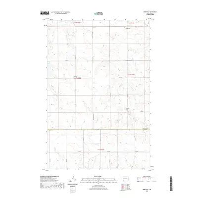
2020 Map of Abbey Hill
USGS Topo · Published 2020About this map
Abbey Hill and Anderson Butte rise as prominent landmarks above the sectioned prairie of the North Dakota badlands, anchoring this modern survey of the rural borderlands between Hettinger and Adams counties. The landscape is defined by the headwaters of several drainage systems, including the southward-flowing Indian Cr, Dayton Cr, and Spring Cr, which cut through a high plateau organized by a strictly rectilinear road network. Evidence of early 20th-century settlement persists at Alden Cem, located along 75th St SW. This burial ground stands as a silent witness to the pioneer families who established homesteads in the T133N R95W township. The intersection of modern transportation routes like Hettinger Regent Rd with ancient topographic features illustrates the enduring influence of the land's natural contours on local development and ranching access.
Find a feature on this map
30 named features on this map. Tap any name to fly to it.
Don’t see what you’re looking for? This feature index may not catch every label — zoom into the map to look around manually.
Map Details
Editions of this 2020 Abbey Hill Map
This is the sole edition of this map. No revisions or reprints were ever made.
Other maps of this area

1953 · Dickinson
USGS Topo · 1:250,000

1957 · Dickinson
USGS Topo · 1:250,000

1966 · Mott NW
USGS Topo · 1:24,000

1966 · Regent
USGS Topo · 1:24,000

1966 · Mott SW
USGS Topo · 1:24,000

1973 · Liens Dams
USGS Topo · 1:24,000

1973 · Havelock
USGS Topo · 1:24,000

1973 · Abbey Hill
USGS Topo · 1:24,000

1974 · Pearl Butte NW
USGS Topo · 1:24,000

1980 · Mott
USGS Topo · 1:100,000