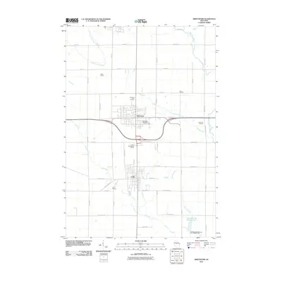
2010 Map of Abbotsford
USGS Topo · Published 2010About this map
Abbotsford and Colby anchor this central Wisconsin landscape, where the municipal boundaries meet along a north-south corridor defined by agricultural and civil infrastructure. The transition from town to farmland is marked by several small aviation fields, including Jones Airport and the Colby-Abbotsford Airport, reflecting the region's historical reliance on local air transport. A complex drainage network of small waterways, such as Elm Brook, Dill Creek, and the North Fork Popple River, threads through the grid of rural sections.
Find a feature on this map
47 named features on this map. Tap any name to fly to it.
Don’t see what you’re looking for? This feature index may not catch every label — zoom into the map to look around manually.
Map Details
Editions of this 2010 Abbotsford Map
This is the sole edition of this map. No revisions or reprints were ever made.
Other maps of this area

1902 · Marathon
USGS Topo · 1:125,000

1951 · Athens
USGS Topo · 1:48,000

1951 · Medford
USGS Topo · 1:48,000

1953 · Abbotsford
USGS Topo · 1:48,000

1953 · Stratford
USGS Topo · 1:48,000

1953 · Eau Claire
USGS Topo · 1:250,000

1953 · Rice Lake
USGS Topo · 1:250,000

1958 · Eau Claire
USGS Topo · 1:250,000

1959 · Rice Lake
USGS Topo · 1:250,000

1963 · Stratford
USGS Topo · 1:62,500