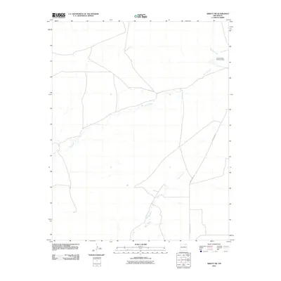
2010 Map of Abbott NW
USGS Topo · Published 2010About this map
Rio del Plano meanders across this high-plains landscape, serving as the central hydrological feature of the region. The drainage network is further defined by Alkaki Arroyo and the seasonal flows of Rondeau Creek, which feeds into the Rito Del Plano Reservoir Dam in the northeastern quadrant. This watershed structure dictates the local geography, highlighting how water management is critical in this arid New Mexico environment. Human presence is sparse, anchored primarily by the transit corridor of County Road C-34, which cuts through the open terrain. The mapping reveals a quiet, ranch-oriented territory where the natural contours of the arroyos and creeks remain the most prominent landmarks for navigation and land use.
Find a feature on this map
5 named features on this map. Tap any name to fly to it.
Don’t see what you’re looking for? This feature index may not catch every label — zoom into the map to look around manually.
Map Details
Editions of this 2010 Abbott NW Map
This is the sole edition of this map. No revisions or reprints were ever made.
Other maps of this area

1915 · Koehler
USGS Topo · 1:62,500

1917 · Koehler
USGS Topo · 1:62,500

1954 · Raton
USGS Topo · 1:250,000

1958 · Raton
USGS Topo · 1:250,000

1965 · Sauble Circle Dot Ranch
USGS Topo · 1:24,000

1965 · Abbott NW
USGS Topo · 1:24,000

1965 · French
USGS Topo · 1:24,000

1965 · Taylor Springs
USGS Topo · 1:24,000

1965 · Abbott
USGS Topo · 1:24,000

1965 · Springer
USGS Topo · 1:24,000