
1965 Map of French
USGS Topo · Published 1967About this map
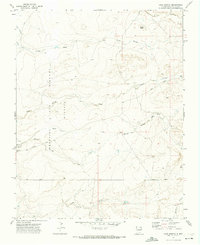
The confluence of the Vermejo River and the Canadian River anchors this mid-1960s survey of Colfax County, where the plains meet the water-carved breaks of Northern New Mexico. The Atchison Topeka and Santa Fe railroad serves as the primary corridor, passing through the settlement of French and by the Cemetery. This landscape is defined by the legacy of the Beaubien and Miranda (Maxwell) grant, a massive historical land tract that shaped local property and water rights.
Find a feature on this map
21 named features on this map. Tap any name to fly to it.
Don’t see what you’re looking for? This feature index may not catch every label — zoom into the map to look around manually.
Map Details
Editions of this 1965 French Map
This is the sole edition of this map. No revisions or reprints were ever made.
Other maps of this area

1915 · Koehler
USGS Topo · 1:62,500

1917 · Koehler
USGS Topo · 1:62,500

1954 · Raton
USGS Topo · 1:250,000

1958 · Raton
USGS Topo · 1:250,000

1964 · Pinon Hills
USGS Topo · 1:24,000

1965 · Abbott NW
USGS Topo · 1:24,000

1965 · Springer Lake
USGS Topo · 1:24,000

1965 · Taylor Springs
USGS Topo · 1:24,000

1965 · Springer
USGS Topo · 1:24,000
1971 · Loco Arroyo
USGS Topo · 1:24,000