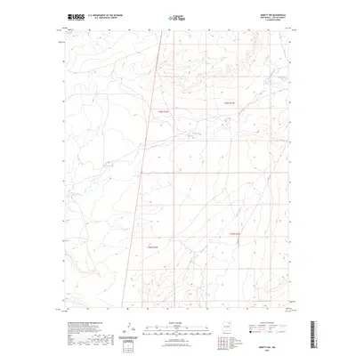
2023 Map of Abbott NW
USGS Topo · Published 2023About this map
Rio del Plano winds through this section of the High Plains, carving a distinct drainage path through a landscape defined by seasonal watercourses and historical land divisions. This 2023 survey delineates the intricate townships of the Public Land Survey System, specifically t26n r23e and t26n r24e, which provide a framework for understanding the ranching and agricultural boundaries of Colfax County. The terrain is further shaped by the flow of Rondeau Creek and the long, winding Alkali Arroyo, reflecting a landscape where water is the primary architect of the topography. Modern infrastructure remains minimal, represented primarily by Co RD C-34, which serves as a vital connector across these sparsely settled northern New Mexico plains.
Find a feature on this map
8 named features on this map. Tap any name to fly to it.
Don’t see what you’re looking for? This feature index may not catch every label — zoom into the map to look around manually.
Map Details
Editions of this 2023 Abbott NW Map
This is the sole edition of this map. No revisions or reprints were ever made.
Other maps of this area

1915 · Koehler
USGS Topo · 1:62,500

1917 · Koehler
USGS Topo · 1:62,500

1954 · Raton
USGS Topo · 1:250,000

1958 · Raton
USGS Topo · 1:250,000

1965 · Sauble Circle Dot Ranch
USGS Topo · 1:24,000

1965 · Abbott NW
USGS Topo · 1:24,000

1965 · French
USGS Topo · 1:24,000

1965 · Taylor Springs
USGS Topo · 1:24,000

1965 · Abbott
USGS Topo · 1:24,000

1965 · Springer
USGS Topo · 1:24,000