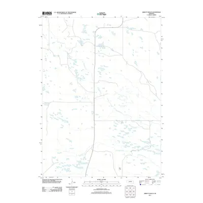
2011 Map of Abbott Ranch
USGS Topo · Published 2011About this map
Big Cedar Creek winds across this section of Holt County, defining a landscape shaped by the intricate drainage patterns of the Nebraska Sandhills. This 2011 survey illustrates a sparse, ranching-oriented geography where water remains the primary landmark. The map tracks the meandering path of the creek alongside its smaller neighbor, Little Cedar Creek, as they move through a terrain of low relief and numerous small, unnamed depressions. The presence of Beat Flats suggests a localized area of level ground within the undulating prairie. This document is particularly useful for understanding the modern hydrology and rural road network of a region where large-scale ranching operations have historically dictated the placement of homesteads and infrastructure.
Find a feature on this map
3 named features on this map. Tap any name to fly to it.
Don’t see what you’re looking for? This feature index may not catch every label — zoom into the map to look around manually.
Map Details
Editions of this 2011 Abbott Ranch Map
This is the sole edition of this map. No revisions or reprints were ever made.
Other maps of this area

1952 · Burwell NE
USGS Topo · 1:24,000

1952 · Burwell NW
USGS Topo · 1:24,000

1954 · Gables NW
USGS Topo · 1:24,000

1955 · Broken Bow
USGS Topo · 1:250,000

1955 · O'Neill
USGS Topo · 1:250,000

1956 · Broken Bow
USGS Topo · 1:250,000

1959 · O'Neill
USGS Topo · 1:250,000

1969 · O'Neill
USGS Topo · 1:250,000
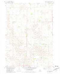
1981 · Abbott Ranch
USGS Topo · 1:24,000

1981 · Swan Lake
USGS Topo · 1:24,000