2024 Map of Abbottsford
USGS Topo · Published 2024About this map
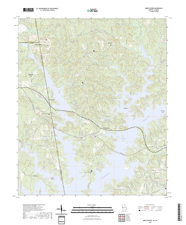
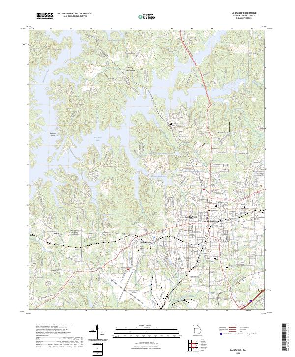
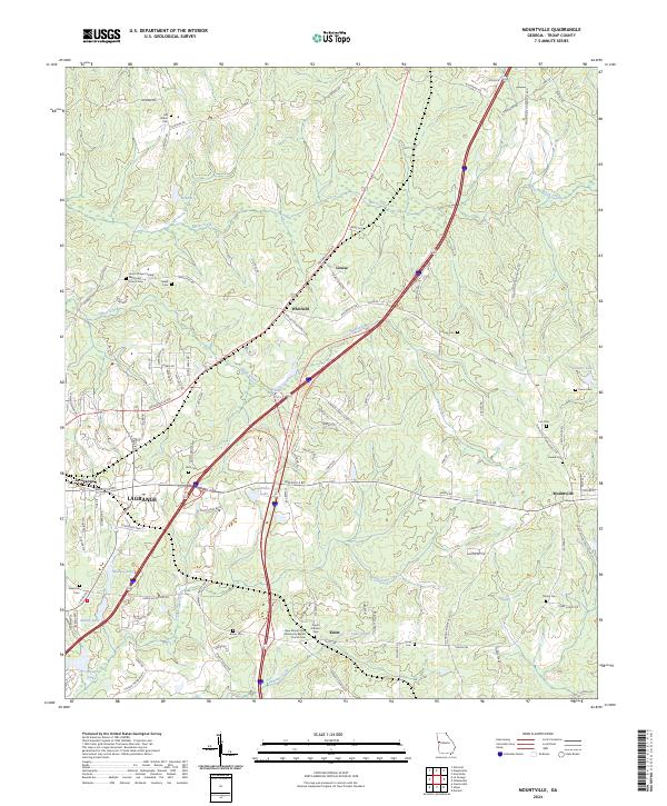
The Chattahoochee River corridor dominates this map, where the expansive waters of West Point Lake have fundamentally altered the landscape of the Georgia-Alabama border. This modern survey illustrates the current shoreline, where once-free-flowing tributaries like Wehadkee Creek and Wilson Creek now form deep, irregular inlets. Historic settlement patterns remain visible through several community landmarks, including McCosh Mill and Standing Rock in the northwest, and the village of Abbottsford situated near the lake's eastern banks. Family history and local heritage are preserved in numerous scattered burial grounds such as Bethlehem Cem, Freeman Cem, and Antioch Cem. The presence of Hawthorn Ferry and Johnson Island underscores the region's historical reliance on the river as both a barrier and a thoroughfare, while the proximity of Oakland and Evansville highlights the transition from upland farming to a lakeside economy.
Find a feature on this map
121 named features on this map. Tap any name to fly to it.
Don’t see what you’re looking for? This feature index may not catch every label — zoom into the map to look around manually.
Map Details
Editions of this 2024 Abbottsford Map
This is the sole edition of this map. No revisions or reprints were ever made.
Historical Maps of Oakland Through Time
10 maps found
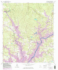
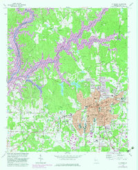
1964 Abbottsford
Troup County, GA
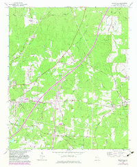
1964 Cannonville
Troup County, GA
1964 Hilyer
Troup County, GA
1964 La Grange
Troup County, GA
1964 Mountville
Troup County, GA
2024 Abbottsford
Troup County, GA
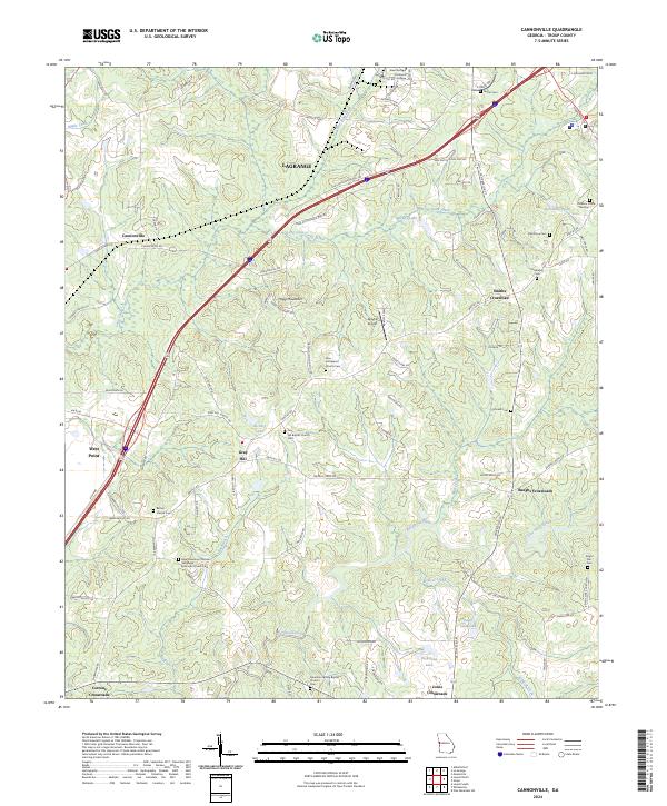
2024 Cannonville
Troup County, GA
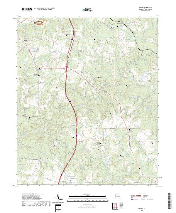
2024 Hilyer
Troup County, GA
2024 La Grange
Troup County, GA
2024 Mountville
Troup County, GA