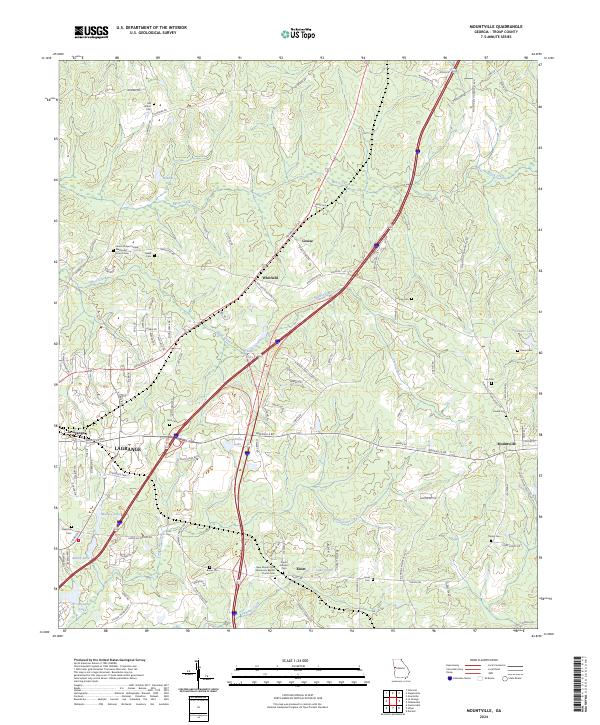
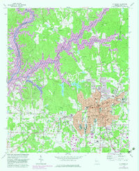
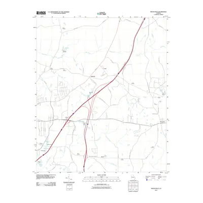
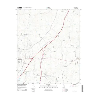
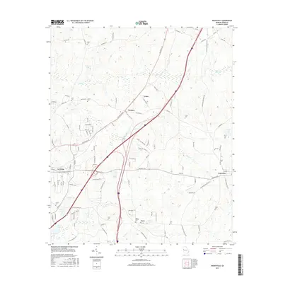
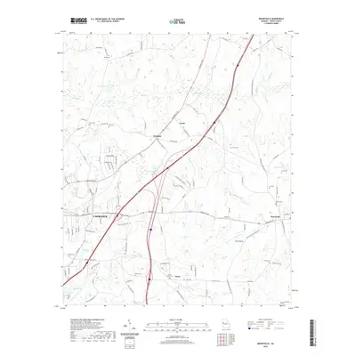
2024 Map of Mountville
USGS Topo · Published 2024About this map
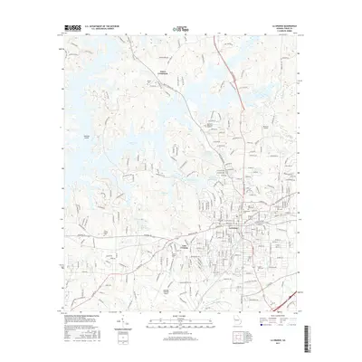
The rolling Troup County landscape east of LaGrange is defined by a network of small family cemeteries and historic crossroads. Small settlements such as Louise, Whitfield, and Knott are scattered across the terrain, connected by rural routes like Hogansville Rd and Greenville Rd. The eastern portion of the map is anchored by the community of Mountville, located where the road meets the intersection of College St and Chipley Mountville Rd.
Find a feature on this map
110 named features on this map. Tap any name to fly to it.
Don’t see what you’re looking for? This feature index may not catch every label — zoom into the map to look around manually.
Map Details
Editions of this 2024 Mountville Map
This is the sole edition of this map. No revisions or reprints were ever made.
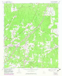
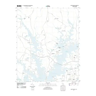
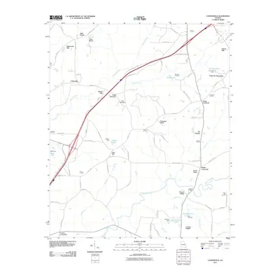
Historical Maps of LaGrange Through Time
30 maps found
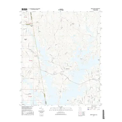
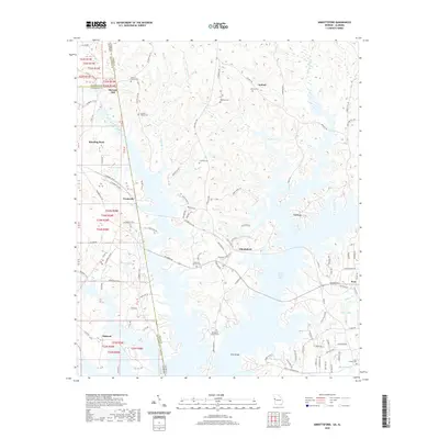
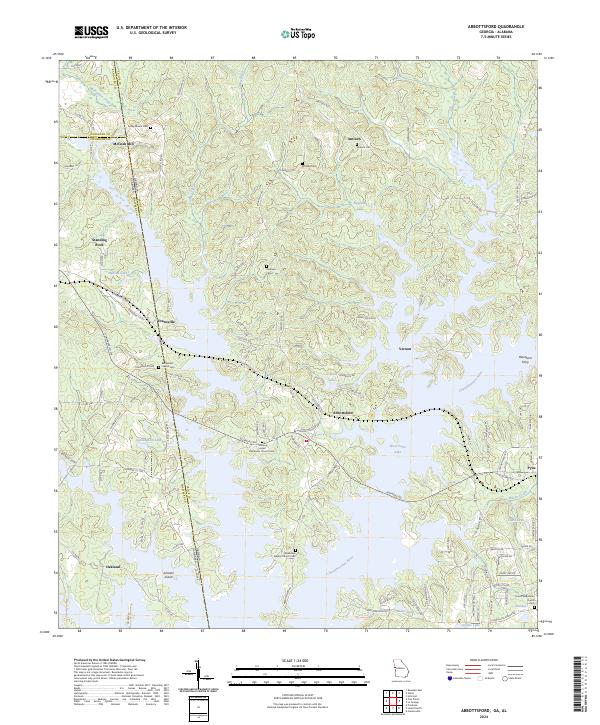
1964 Abbottsford
Troup County, GA
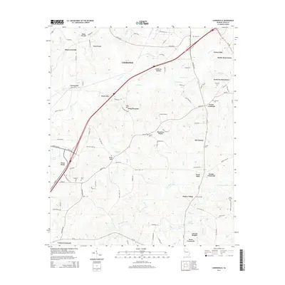
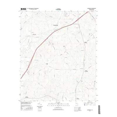
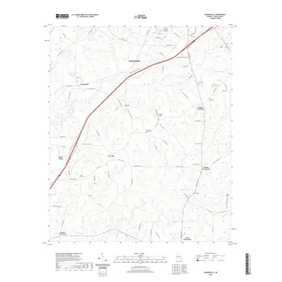
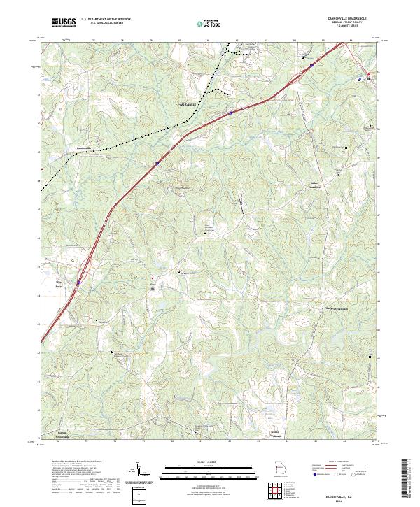
1964 Cannonville
Troup County, GA
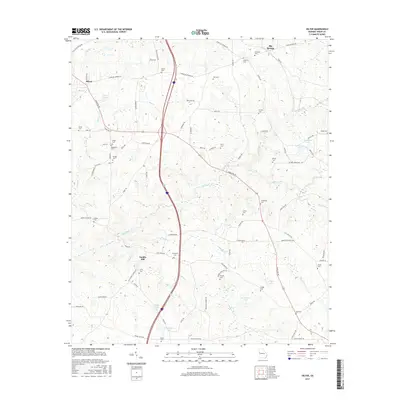
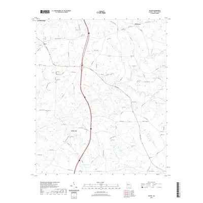
1964 Hilyer
Troup County, GA
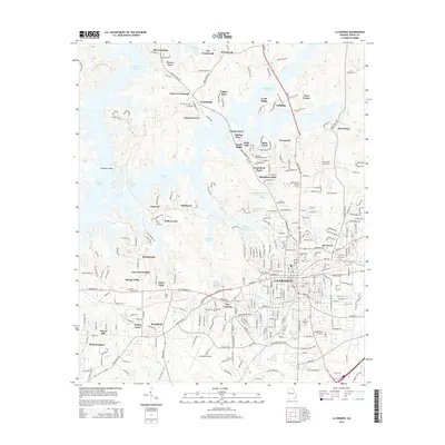
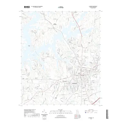
1964 La Grange
Troup County, GA
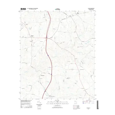
1964 Mountville
Troup County, GA
2011 Abbottsford
Troup County, GA
2011 Cannonville
Troup County, GA
2011 Hilyer
Troup County, GA
2011 La Grange
Troup County, GA
2011 Mountville
Troup County, GA
2014 Abbottsford
Troup County, GA
2014 Cannonville
Troup County, GA
2014 Hilyer
Troup County, GA
2014 La Grange
Troup County, GA
2014 Mountville
Troup County, GA
2017 Abbottsford
Troup County, GA
2017 Cannonville
Troup County, GA
2017 Hilyer
Troup County, GA
2017 La Grange
Troup County, GA
2017 Mountville
Troup County, GA
2020 Abbottsford
Troup County, GA
2020 Cannonville
Troup County, GA
2020 Hilyer
Troup County, GA
2020 La Grange
Troup County, GA
2020 Mountville
Troup County, GA
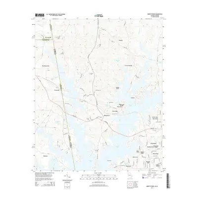
2024 Abbottsford
Troup County, GA
2024 Cannonville
Troup County, GA
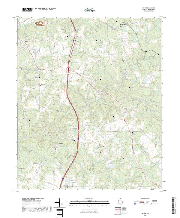
2024 Hilyer
Troup County, GA
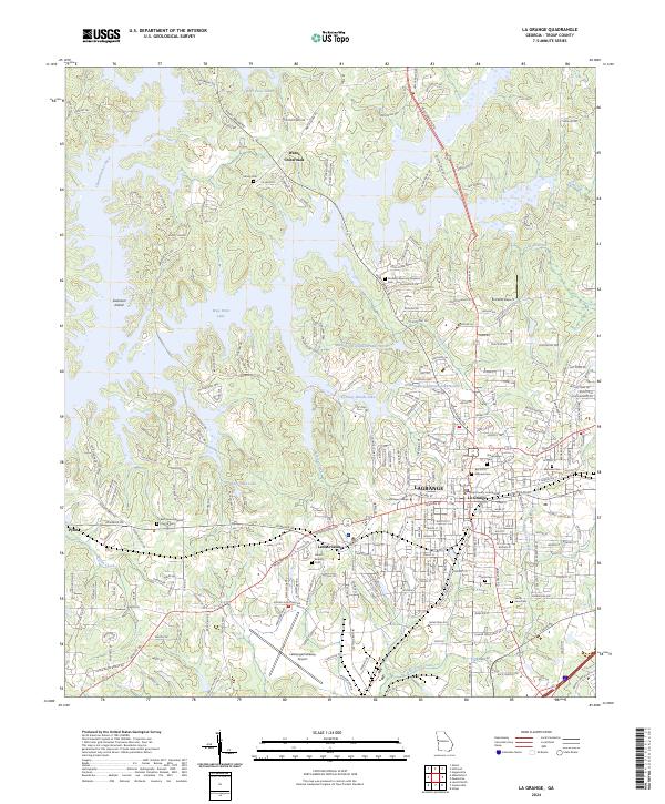
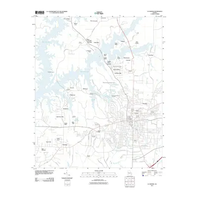
2024 La Grange
Troup County, GA
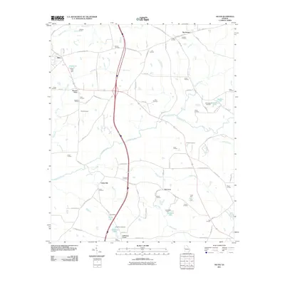
2024 Mountville
Troup County, GA