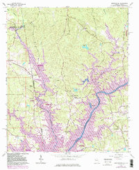
1964 Map of Abbottsford
USGS Topo · Published 1983About this map
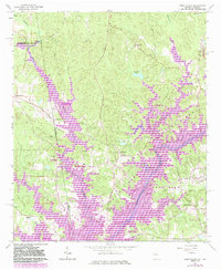
The Chattahoochee River corridor along the Georgia and Alabama border underwent a significant transformation as the waters of West Point Lake began to define the landscape. This mid-century survey, with later revisions, shows the transition of rural creek valleys into a series of recreation areas like Whitewater Recreation Area and Caney Creek Recreation Area. The Seaboard Railroad cuts through the terrain, connecting small settlements such as Abbottsford and Evansville. Cultural life is anchored by numerous country churches, including Antioch Ch, Harmony Ch, and Wehadkee Ch. Historic infrastructure like McCosh Mill and Mc Cosh Mill Road indicates the early industrial and transportation patterns that predated the reservoir, while the purple revision markings highlight the extent of the new shoreline and submerged zones.
Find a feature on this map
57 named features on this map. Tap any name to fly to it.
Don’t see what you’re looking for? This feature index may not catch every label — zoom into the map to look around manually.
Map Details
Editions of this 1964 Abbottsford Map
5 editions found
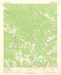
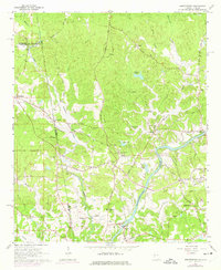
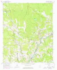
Other maps of this area

1899 · Wedowee
USGS Topo · 1:125,000

1902 · Wedowee
USGS Topo · 1:125,000

1907 · Opelika
USGS Topo · 1:125,000

1909 · Opelika
USGS Topo · 1:125,000

1953 · Atlanta
USGS Topo · 1:250,000

1955 · Phenix City
USGS Topo · 1:250,000

1957 · Phenix City
USGS Topo · 1:250,000

1957 · Atlanta
USGS Topo · 1:250,000

1958 · Phenix City
USGS Topo · 1:250,000

1958 · Atlanta
USGS Topo · 1:250,000