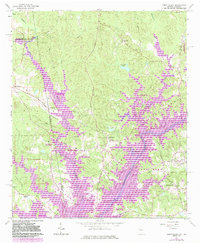
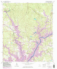
1964 Map of Abbottsford
USGS Topo · Published 1983About this map
The Chattahoochee River corridor dominates this 1960s landscape, which was later significantly altered by the impoundment of West Point Lake. The survey captures the transition of the valley from a rural agricultural and milling district into a major recreational resource. Features like McCosh Mill and several country churches including Antioch Ch and Harmony Ch represent the established community structure prior to the full expansion of the reservoir system.
Find a feature on this map
40 named features on this map. Tap any name to fly to it.
Don’t see what you’re looking for? This feature index may not catch every label — zoom into the map to look around manually.
Map Details
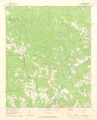
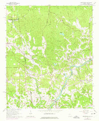
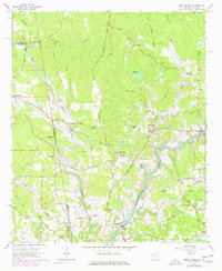
Editions of this 1964 Abbottsford Map
5 editions found
Other maps of this area

1899 · Wedowee
USGS Topo · 1:125,000

1902 · Wedowee
USGS Topo · 1:125,000

1907 · Opelika
USGS Topo · 1:125,000

1909 · Opelika
USGS Topo · 1:125,000

1953 · Atlanta
USGS Topo · 1:250,000

1955 · Phenix City
USGS Topo · 1:250,000

1957 · Phenix City
USGS Topo · 1:250,000

1957 · Atlanta
USGS Topo · 1:250,000

1958 · Phenix City
USGS Topo · 1:250,000

1958 · Atlanta
USGS Topo · 1:250,000