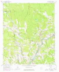
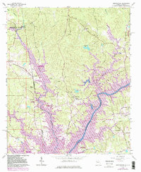
1964 Map of Abbottsford
USGS Topo · Published 1977About this map
The Chattahoochee River carves through this borderland where Alabama and Georgia meet, shaping the development of rural communities like Abbottsford and Evansville. By the mid-1960s, the landscape was undergoing a significant transformation with the creation of West Point Lake, which inundated the lowlands near the confluence of Wehadkee Creek and Wilson Creek. This era of change is documented by the presence of numerous small country churches, including State Line Ch and Harmony Ch, which served as the social anchors for farming families in Troup and Chambers counties.
Find a feature on this map
55 named features on this map. Tap any name to fly to it.
Don’t see what you’re looking for? This feature index may not catch every label — zoom into the map to look around manually.
Map Details
Editions of this 1964 Abbottsford Map
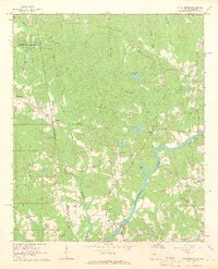
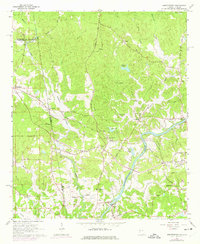
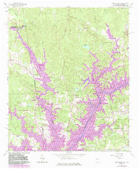
5 editions found
Other maps of this area

1899 · Wedowee
USGS Topo · 1:125,000

1902 · Wedowee
USGS Topo · 1:125,000

1907 · Opelika
USGS Topo · 1:125,000

1909 · Opelika
USGS Topo · 1:125,000

1953 · Atlanta
USGS Topo · 1:250,000

1955 · Phenix City
USGS Topo · 1:250,000

1957 · Phenix City
USGS Topo · 1:250,000

1957 · Atlanta
USGS Topo · 1:250,000

1958 · Phenix City
USGS Topo · 1:250,000

1958 · Atlanta
USGS Topo · 1:250,000