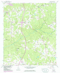
1964 Map of Hilyer
USGS Topo · Published 1986About this map
Smiths Mill and the crossroads at Andersons Corner anchor this Troup County landscape, which transitions from early 1960s rural patterns to mid-1980s updates. The terrain is defined by a dense network of drainage, where Flat Shoal Creek and Polecat Creek converge, shaping the placement of early settlements and roads. The Seaboard Coast Line railroad cuts across the northern half, passing through Hilyer and near Big Springs, highlighting the importance of rail transport to the local economy.
Find a feature on this map
84 named features on this map. Tap any name to fly to it.
Don’t see what you’re looking for? This feature index may not catch every label — zoom into the map to look around manually.
Map Details
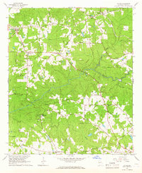
Editions of this 1964 Hilyer Map
2 editions found
Other maps of this area

1899 · Wedowee
USGS Topo · 1:125,000

1902 · Wedowee
USGS Topo · 1:125,000

1907 · Talbotton
USGS Topo · 1:125,000

1907 · Opelika
USGS Topo · 1:125,000

1909 · Opelika
USGS Topo · 1:125,000

1953 · Atlanta
USGS Topo · 1:250,000

1955 · Phenix City
USGS Topo · 1:250,000

1957 · Phenix City
USGS Topo · 1:250,000

1957 · Atlanta
USGS Topo · 1:250,000

1958 · Phenix City
USGS Topo · 1:250,000