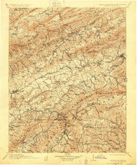
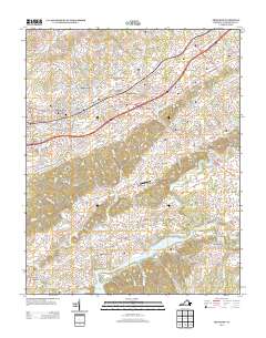
1911 Map of Abingdon
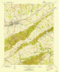
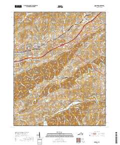
USGS Topo · Published 1928About this map
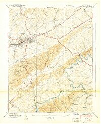
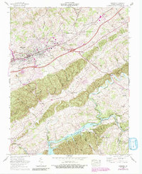
Abingdon serves as the regional hub for this survey of the Appalachian Highlands, situated where the Middle Fork Holston River and South Fork Holston River flow through the valleys of Southwest Virginia. The landscape is defined by the heavy infrastructure of the Norfolk and Western Railway, which connects prominent industrial and agricultural centers like Saltville, Glade Spring, and Meadowview. This rail corridor supported a network of local commerce evidenced by landmarks like Whites Mill, De Busk Mill, and the Quarry near Maccrady.
Find a feature on this map
167 named features on this map. Tap any name to fly to it.
Don’t see what you’re looking for? This feature index may not catch every label — zoom into the map to look around manually.
Map Details
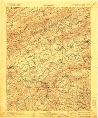
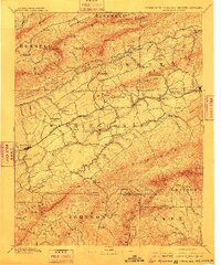
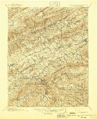
Editions of this 1911 Abingdon Map
5 editions found


Historical Maps of Abingdon Through Time
13 maps found

1891 Abingdon
Washington County, VA
1894 Abingdon
Washington County, VA

1909 Abingdon
Washington County, VA
1911 Abingdon
Washington County, VA

1935 Abingdon
Washington County, VA
1938 Abingdon
Washington County, VA
1939 Abingdon
Washington County, VA
1960 Abingdon
Washington County, VA
2010 Abingdon
Washington County, VA
2013 Abingdon
Washington County, VA

2016 Abingdon
Washington County, VA
2019 Abingdon
Washington County, VA
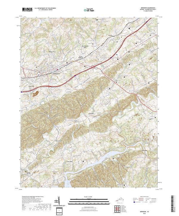
2022 Abingdon
Washington County, VA