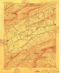
1894 Map of Abingdon
USGS Topo · Published 1910About this map
Abingdon serves as the focal point of this Southwest Virginia landscape, situated within a complex network of ridges and river valleys near the Tennessee and North Carolina borders. The Norfolk and Western R. R. provides the primary industrial artery, connecting settlements like Glade Springs and Meadow View while bypassing the higher elevations of the Iron Mountains. A notable concentration of early educational and industrial sites appears, including Emory and Henry College and the specialized operations at Saltville and Plasterburg. The terrain is defined by the three forks of the Holston River, which carved through the Walker Mountains and Brushy Mt. to create fertile but isolated valleys. Numerous family-named mills and small stations like Belfast Mills, Vance's Mill, and Blackwells Store indicate a rural economy deeply integrated with the region's topography.
Find a feature on this map
116 named features on this map. Tap any name to fly to it.
Don’t see what you’re looking for? This feature index may not catch every label — zoom into the map to look around manually.
Map Details
Editions of this 1894 Abingdon Map
5 editions found

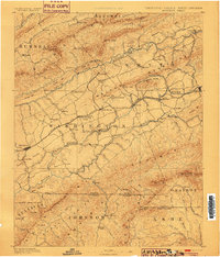
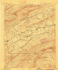
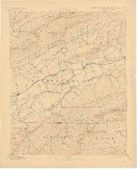
Other maps of this area

1886 · Grundy
USGS Topo · 1:125,000

1887 · Pocahontas
USGS Topo · 1:125,000

1889 · Wytheville
USGS Topo · 1:125,000

1889 · Wilkesboro
USGS Topo · 1:125,000

1890 · Grundy
USGS Topo · 1:125,000

1891 · Tazewell
USGS Topo · 1:125,000

1891 · Pocahontas
USGS Topo · 1:125,000

1891 · Roan Mountain
USGS Topo · 1:125,000

1891 · Abingdon
USGS Topo · 1:125,000

1891 · Wilkesboro
USGS Topo · 1:125,000