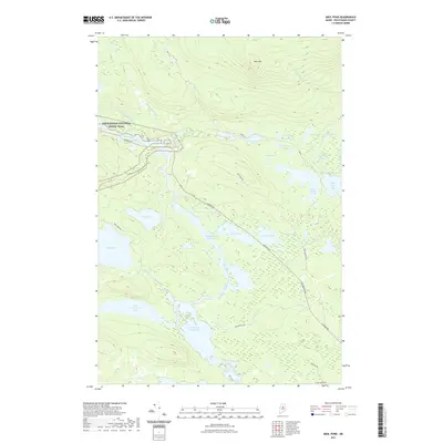
2021 Map of Abol Pond
USGS Topo · Published 2021About this map
The West Branch Penobscot River carves through this northern Maine wilderness, punctuated by numerous rapids and wide stillwaters. Significant drops such as Abol Falls, Pockwockamus Falls, and Debsconeag Falls separate the sluggish stretches of the Pockwockamus Deadwater and Debsconeag Deadwater. This area is a critical junction for outdoor recreation, where the Appalachian National Scenic Trail traverses the landscape near the foot of Abol Mtn.
Find a feature on this map
44 named features on this map. Tap any name to fly to it.
Don’t see what you’re looking for? This feature index may not catch every label — zoom into the map to look around manually.
Map Details
Editions of this 2021 Abol Pond Map
This is the sole edition of this map. No revisions or reprints were ever made.
Other maps of this area

1927 · Katahdin
USGS Topo · 1:48,000

1930 · Katahdin
USGS Topo · 1:62,500

1949 · Katahdin
USGS Topo · 1:62,500

1951 · Norcross
USGS Topo · 1:62,500

1952 · Jo-Mary Mountain
USGS Topo · 1:62,500

1954 · Harrington Lake
USGS Topo · 1:62,500

1954 · Millinocket
USGS Topo · 1:250,000

1958 · Millinocket
USGS Topo · 1:250,000

1960 · Millinocket
USGS Topo · 1:250,000
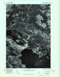
1978 · Trout Mountain
USGS Topo · 1:24,000