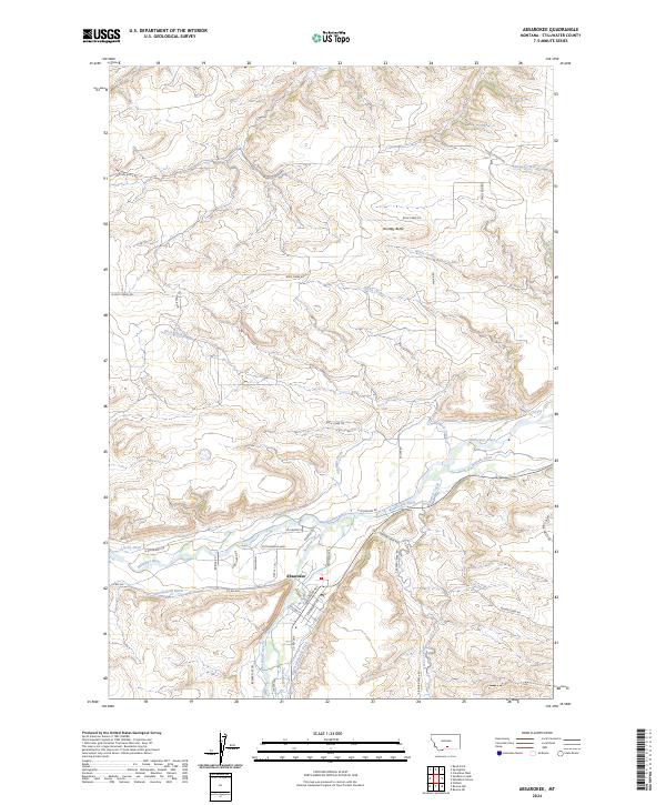
2024 Map of Absarokee
USGS Topo · Published 2024About this map
Absarokee sits at the confluence of the Stillwater River and Rosebud Creek, serving as a central hub for the surrounding agricultural and ranching landscape of Stillwater County. This survey highlights the complex network of irrigation infrastructure essential to the region's economy, including the Mendenhall Ditch, Sylvester-Beasly Ditch, and Roadhouse Ditch. These waterways trace the valley floors, mirroring the paths of Montana Ave and Beaver Creek Rd as they connect disparate homesteads and parcels. To the north, the terrain rises toward Huntley Butte, where the landscape transitions into a series of coulees and draws like Norve Coulee and Orson Coulee. The map provides a contemporary record of property boundaries and local transit routes, from Bridge Rd to the more remote Trails End Rd, illustrating how modern settlement patterns remain deeply tied to the natural watercourses and topography of the Montana plains.
Find a feature on this map
45 named features on this map. Tap any name to fly to it.
Don’t see what you’re looking for? This feature index may not catch every label — zoom into the map to look around manually.
Map Details
Editions of this 2024 Absarokee Map
This is the sole edition of this map. No revisions or reprints were ever made.
Other maps of this area

1891 · Big Timber
USGS Topo · 1:125,000

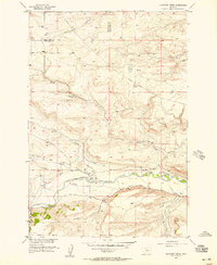
1892 · Stillwater
USGS Topo · 1:125,000

1893 · Big Timber
USGS Topo · 1:125,000

1898 · Granite Mountain District
USGS Topo · 1:125,000

1932 · Red Lodge No 2
USGS Topo · 1:48,000

1932 · Nye No 1
USGS Topo · 1:48,000

1954 · Billings
USGS Topo · 1:250,000
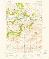
1955 · Sandborn Creek
USGS Topo · 1:24,000
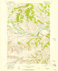
1955 · Reed Point
USGS Topo · 1:24,000
1955 · Springtime
USGS Topo · 1:24,000