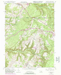
2023 Map of Accident
USGS Topo · Published 2023About this map
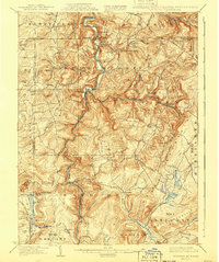
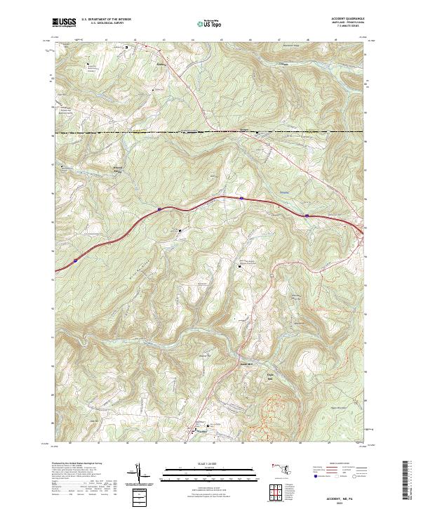
Accident and the surrounding Garrett County highlands are defined by a complex network of ridges and narrow valley settlements along the Pennsylvania-Maryland border. This landscape is characterized by its high-altitude drainage systems, including Bear Creek and Little Bear Creek, which supported early milling operations such as Kaese Mill and Engle Mill. The map reveals a deeply rooted community structure, evidenced by numerous small family and church burial grounds like the Augustine Burial Ground Number 1 and George Hetz Cem.
Find a feature on this map
112 named features on this map. Tap any name to fly to it.
Don’t see what you’re looking for? This feature index may not catch every label — zoom into the map to look around manually.
Map Details
Editions of this 2023 Accident Map
This is the sole edition of this map. No revisions or reprints were ever made.
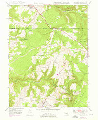
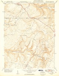
Historical Maps of Strawn Through Time
7 maps found