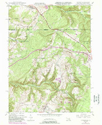
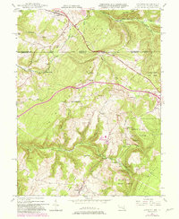
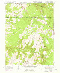
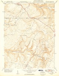
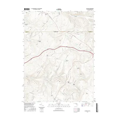
1947 Map of Accident
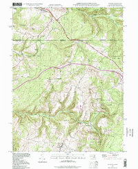
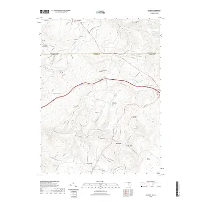
USGS Topo · Published 1989About this map
The town of Accident and the crossing of the National Road define this high-country landscape along the Maryland-Pennsylvania border. Situated in Garrett County and Somerset County, the terrain is shaped by the ridges of Negro Mountain and Winding Ridge, where small-scale industry and agricultural settlements took hold. Historical evidence of local resource extraction and processing is visible through the Sausman Mine near Mineral Spring and the presence of both Kaese Mill and Engle Mill along the waterways feeding Bear Creek.
Find a feature on this map
40 named features on this map. Tap any name to fly to it.
Don’t see what you’re looking for? This feature index may not catch every label — zoom into the map to look around manually.
Map Details
Editions of this 1947 Accident Map
2 editions found
Historical Maps of Accident Through Time
11 maps found
1900 Accident
Garrett County, MD
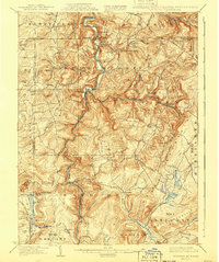
1947 Accident
Garrett County, MD
1948 Accident
Garrett County, MD
1949 Accident
Garrett County, MD

1977 Accident
Garrett County, MD
1994 Accident
Garrett County, MD
2011 Accident
Garrett County, MD
2014 Accident
Garrett County, MD
2016 Accident
Garrett County, MD
2019 Accident
Garrett County, MD
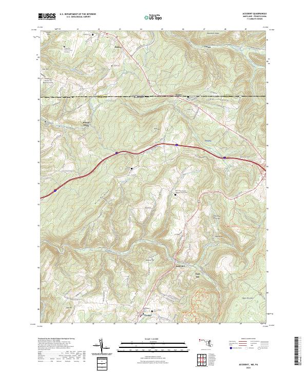
2023 Accident
Garrett County, MD