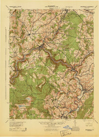
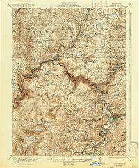
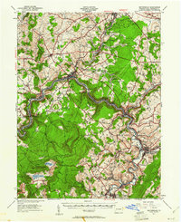
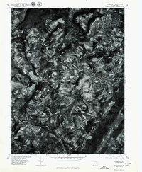
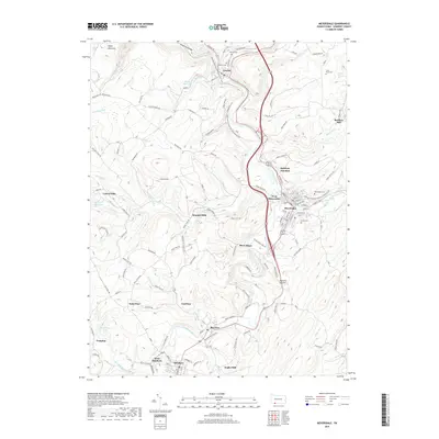
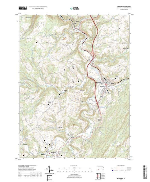
1944 Map of Meyersdale
USGS Topo · Published 1945About this map
Meyersdale and Rockwood serve as the primary hubs in this mid-century portrait of Somerset County, where the industrial landscape of the Alleghenies is defined by the extraction of coal and stone. The Casselman River carves a deep path through the terrain, flanked by the competing tracks of the Baltimore and Ohio and Western Maryland railroads. This transport corridor supported a dense network of extraction sites, including the Mcgregor Mines, Shaw Mines, and the Bare Rock Quarry.
Find a feature on this map
96 named features on this map. Tap any name to fly to it.
Don’t see what you’re looking for? This feature index may not catch every label — zoom into the map to look around manually.
Map Details
Editions of this 1944 Meyersdale Map
This is the sole edition of this map. No revisions or reprints were ever made.
Historical Maps of Somerset Through Time
10 maps found
1921 Meyersdale
Somerset County, PA
1939 Meyersdale
Somerset County, PA
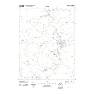
1944 Meyersdale
Somerset County, PA
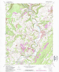
1968 Meyersdale
Somerset County, PA
1977 Meyersdale
Somerset County, PA
2010 Meyersdale
Somerset County, PA
2013 Meyersdale
Somerset County, PA
2016 Meyersdale
Somerset County, PA
2019 Meyersdale
Somerset County, PA
2023 Meyersdale
Somerset County, PA