
1921 Map of Meyersdale
USGS Topo · Published 1921About this map
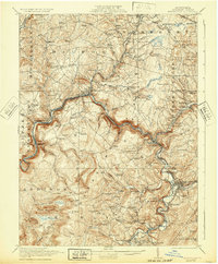
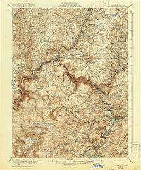
Laurel Hill and Negro Mountain define the high terrain of this Somerset County landscape, where the Casselman River carves a deep valley that served as a primary corridor for the Baltimore and Ohio Railroad. Along these tracks, industrial activity is concentrated at McGregor Mines, Wilson Creek Mines, and the Shaw Mines near Meyersdale. The map reveals a high density of rural infrastructure from the early twentieth century, including numerous family-named landmarks like Koontz Bridge and Comptons Mill. Settlement patterns follow the river and its tributaries, with rail junctions at Salisbury Junc and local post offices such as Centerville Glade PO serving as community anchors. Dozens of country schools, such as the Mighty School and Ganguey School, are scattered throughout the townships of Milford, Summit, and Elk Lick, reflecting the era's localized educational system before later consolidation.
Find a feature on this map
115 named features on this map. Tap any name to fly to it.
Don’t see what you’re looking for? This feature index may not catch every label — zoom into the map to look around manually.
Map Details
Editions of this 1921 Meyersdale Map
3 editions found
Other maps of this area

1898 · Frostburg
USGS Topo · 1:62,500

1899 · Grantsville
USGS Topo · 1:62,500

1900 · Accident
USGS Topo · 1:62,500

1901 · Frostburg
USGS Topo · 1:62,500

1904 · Grantsville
USGS Topo · 1:62,500

1908 · Frostburg
USGS Topo · 1:62,500

1913 · Somerset
USGS Topo · 1:62,500

1914 · Windber
USGS Topo · 1:62,500

1915 · Somerset
USGS Topo · 1:62,500

1916 · Windber
USGS Topo · 1:62,500