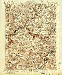
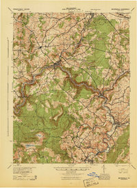
1921 Map of Meyersdale
USGS Topo · Published 1942About this map
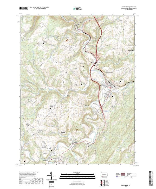
Allegheny Mountain and Glade Mountain dominate the eastern and southwestern horizons of this Somerset County landscape, which was surveyed in 1919 just after the First World War. The Casselman River carves a deep, winding valley through the center of the sheet, providing a corridor for both the Baltimore and Ohio and the Western Maryland railroads. These lines were the lifeblood of the local economy, connecting industrial centers like Meyersdale and Rockwood to the various coal operations dotting the hillsides, including the Beachley Mine and the Mc Gregor Mines.
Find a feature on this map
117 named features on this map. Tap any name to fly to it.
Don’t see what you’re looking for? This feature index may not catch every label — zoom into the map to look around manually.
Map Details
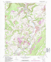
Editions of this 1921 Meyersdale Map
3 editions found
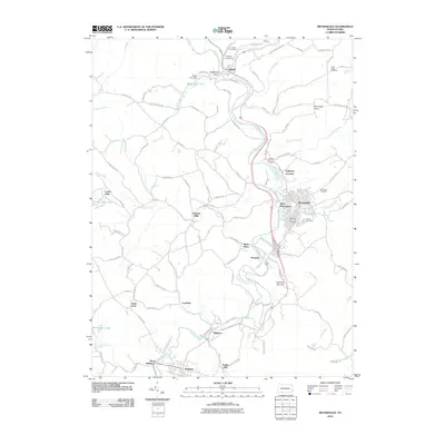
Historical Maps of Somerset Through Time
10 maps found
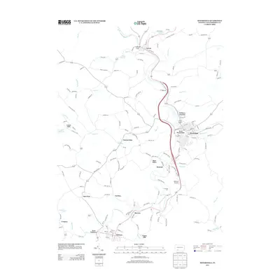
1921 Meyersdale
Somerset County, PA
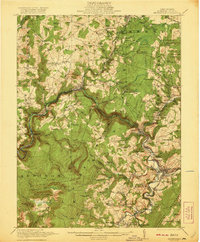
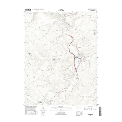
1939 Meyersdale
Somerset County, PA
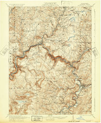
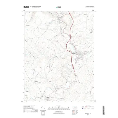
1944 Meyersdale
Somerset County, PA
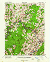
1968 Meyersdale
Somerset County, PA
1977 Meyersdale
Somerset County, PA
2010 Meyersdale
Somerset County, PA
2013 Meyersdale
Somerset County, PA
2016 Meyersdale
Somerset County, PA
2019 Meyersdale
Somerset County, PA
2023 Meyersdale
Somerset County, PA