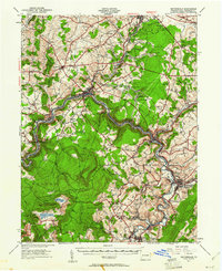
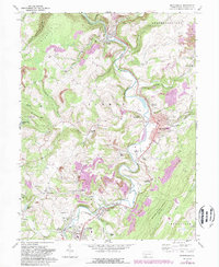
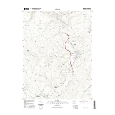
1939 Map of Meyersdale
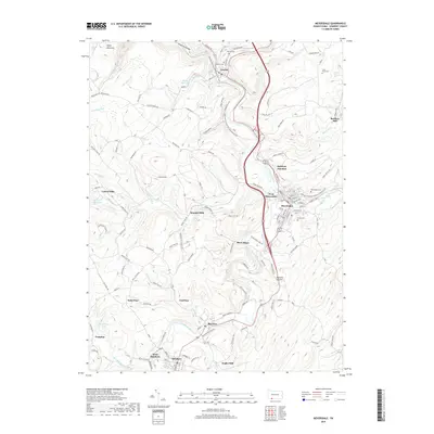
USGS Topo · Published 1961About this map
The Casselman River carves a deep path through this portion of Somerset County, serving as the industrial and transit corridor for the Baltimore and Ohio RR and the Western Maryland RR. This 1939 era landscape is defined by the extraction economy of the Laurel Highlands, with the Wilson Creek Mines, Allegheny Mines, and Vogel Mine clustered near the valley floors. Higher elevations are dominated by the ridge of Glade Mountain and the summit at Mt Davis, which marks the highest point in Pennsylvania.
Find a feature on this map
112 named features on this map. Tap any name to fly to it.
Don’t see what you’re looking for? This feature index may not catch every label — zoom into the map to look around manually.
Map Details
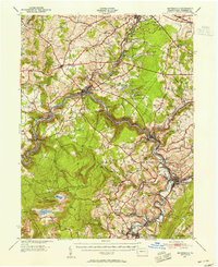
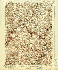
Editions of this 1939 Meyersdale Map
2 editions found
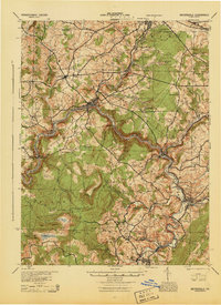
Historical Maps of Somerset Through Time
10 maps found
1921 Meyersdale
Somerset County, PA
1939 Meyersdale
Somerset County, PA
1944 Meyersdale
Somerset County, PA
1968 Meyersdale
Somerset County, PA
1977 Meyersdale
Somerset County, PA
2010 Meyersdale
Somerset County, PA
2013 Meyersdale
Somerset County, PA
2016 Meyersdale
Somerset County, PA
2019 Meyersdale
Somerset County, PA
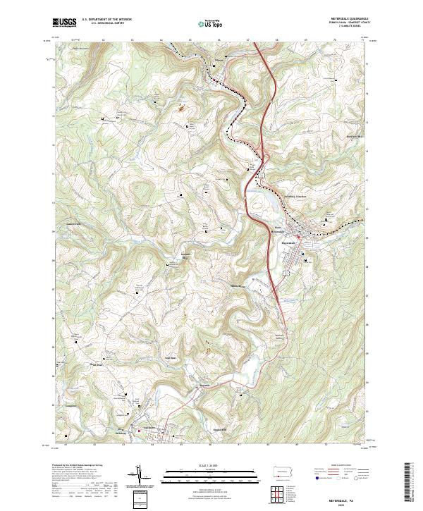
2023 Meyersdale
Somerset County, PA