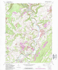
1968 Map of Meyersdale
USGS Topo · Published 1989About this map
Meyersdale serves as the focal point of this Somerset County landscape, where the Casselman River winds through narrow valleys shaped by Negro Mountain and Hunsrick Summit. In the late 1960s, the region's industrial character was defined by a complex network of rail and resource extraction, including the Baltimore and Ohio and Western Maryland railroads serving numerous strip mines and the Shaw Mines. The map documents a deeply rooted rural community, preserving the locations of numerous historic congregations such as Saint Paul Ch, White Oak Ch, and St Michaels Ch. Small settlements like Boynton, Summit Mills, and Garrett are linked by the winding river and old transport corridors, including a visible old railroad grade that follows the river's path south toward Salisbury.
Find a feature on this map
59 named features on this map. Tap any name to fly to it.
Don’t see what you’re looking for? This feature index may not catch every label — zoom into the map to look around manually.
Map Details
Editions of this 1968 Meyersdale Map
4 editions found
Other maps of this area

1898 · Frostburg
USGS Topo · 1:62,500

1899 · Grantsville
USGS Topo · 1:62,500

1901 · Frostburg
USGS Topo · 1:62,500

1904 · Grantsville
USGS Topo · 1:62,500

1908 · Frostburg
USGS Topo · 1:62,500

1921 · Meyersdale
USGS Topo · 1:62,500

1923 · Berlin
USGS Topo · 1:48,000

1929 · Berlin
USGS Topo · 1:62,500

1939 · Meyersdale
USGS Topo · 1:62,500

1944 · Berlin
USGS Topo · 1:62,500