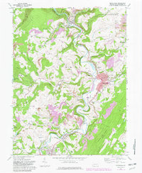
1968 Map of Meyersdale
USGS Topo · Published 1982About this map
The Casselman River winds through the heart of Somerset County, carving a path between the steep slopes of Negro Mountain and the high plateaus of Summit and Elk Lick. This landscape is defined by its deep coal-mining history, with numerous Strip Mines and the Shaw Mines complex dotting the hillsides near Meyersdale. The industrial footprint of the region is further evidenced by the competing paths of the Western Maryland and Baltimore and Ohio railroads, which converge at Salisbury Junction.
Find a feature on this map
58 named features on this map. Tap any name to fly to it.
Don’t see what you’re looking for? This feature index may not catch every label — zoom into the map to look around manually.
Map Details
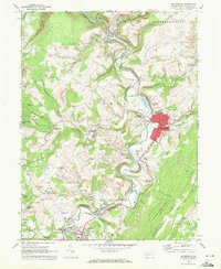
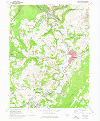
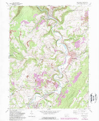
Editions of this 1968 Meyersdale Map
4 editions found
Other maps of this area

1898 · Frostburg
USGS Topo · 1:62,500

1899 · Grantsville
USGS Topo · 1:62,500

1901 · Frostburg
USGS Topo · 1:62,500

1904 · Grantsville
USGS Topo · 1:62,500

1908 · Frostburg
USGS Topo · 1:62,500

1921 · Meyersdale
USGS Topo · 1:62,500

1923 · Berlin
USGS Topo · 1:48,000

1929 · Berlin
USGS Topo · 1:62,500

1939 · Meyersdale
USGS Topo · 1:62,500

1944 · Berlin
USGS Topo · 1:62,500