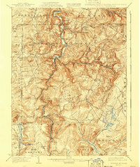
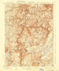
1900 Map of Accident
USGS Topo · Published 1943About this map
Friendsville and the Youghiogheny River valley anchor this late 19th-century landscape where western Maryland meets the borders of Pennsylvania and West Virginia. The area is defined by a dense network of early milling sites and frontier settlements, including Blooming Rose Settlement and the interestingly named Accident. The map documents the vital importance of water power and overland transit during this era, showing numerous mills such as Browning Mill, Niles Mill, and Engle Mills situated along the many mountain runs.
Find a feature on this map
83 named features on this map. Tap any name to fly to it.
Don’t see what you’re looking for? This feature index may not catch every label — zoom into the map to look around manually.
Map Details
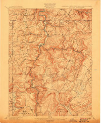
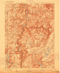
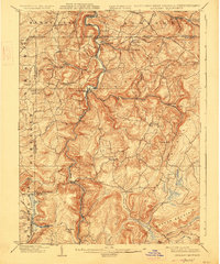
Editions of this 1900 Accident Map
6 editions found
Other maps of this area

1886 · St. George
USGS Topo · 1:125,000

1891 · St. George
USGS Topo · 1:125,000

1895 · Piedmont
USGS Topo · 1:125,000

1899 · Grantsville
USGS Topo · 1:62,500

1899 · Oakland
USGS Topo · 1:62,500

1900 · Accident
USGS Topo · 1:62,500

1900 · Oakland
USGS Topo · 1:62,500

1900 · Uniontown
USGS Topo · 1:62,500

1904 · Bruceton
USGS Topo · 1:62,500

1904 · Grantsville
USGS Topo · 1:62,500