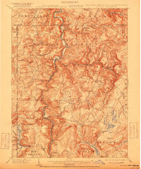
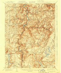
1900 Map of Accident
USGS Topo · Published 1918About this map
The Youghiogheny River carves a deep path through Garrett County at the turn of the century, serving as the central artery for a landscape defined by milling and timber extraction. Small mountain communities like Friendsville and Selbysport anchor the riverbanks, while the upland areas show a dense network of homesteads and small-scale industrial sites. The presence of numerous mills, including Speelman Mills, Eagle Mills, and Browning Mill, reflects an economy deeply tied to the region's water power and forests.
Find a feature on this map
89 named features on this map. Tap any name to fly to it.
Don’t see what you’re looking for? This feature index may not catch every label — zoom into the map to look around manually.
Map Details
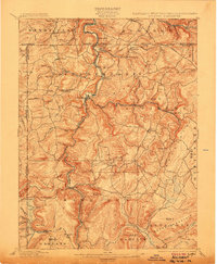
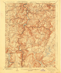
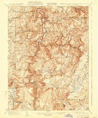
Editions of this 1900 Accident Map
6 editions found
Other maps of this area

1886 · St. George
USGS Topo · 1:125,000

1891 · St. George
USGS Topo · 1:125,000

1895 · Piedmont
USGS Topo · 1:125,000

1899 · Grantsville
USGS Topo · 1:62,500

1899 · Oakland
USGS Topo · 1:62,500

1900 · Accident
USGS Topo · 1:62,500

1900 · Oakland
USGS Topo · 1:62,500

1900 · Uniontown
USGS Topo · 1:62,500

1904 · Bruceton
USGS Topo · 1:62,500

1904 · Grantsville
USGS Topo · 1:62,500