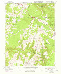
1948 Map of Accident
USGS Topo · Published 1975About this map
The National Road and U.S. 40 bisect this high-elevation terrain along the Maryland and Pennsylvania border during the mid-20th century. This area is defined by its deep ridges and watercourses, notably Winding Ridge and Negro Mountain, which channel numerous streams like Bear Creek and Puzzley Run. The settlement of Accident serves as a local hub near the southern edge, while smaller crossroads and hamlets such as Strawn, Addison, and Unamis dot the northern transition into Pennsylvania.
Find a feature on this map
44 named features on this map. Tap any name to fly to it.
Don’t see what you’re looking for? This feature index may not catch every label — zoom into the map to look around manually.
Map Details
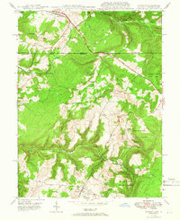
Editions of this 1948 Accident Map
2 editions found
Other maps of this area

1899 · Grantsville
USGS Topo · 1:62,500

1900 · Accident
USGS Topo · 1:62,500

1904 · Grantsville
USGS Topo · 1:62,500

1921 · Meyersdale
USGS Topo · 1:62,500

1922 · Confluence
USGS Topo · 1:62,500

1931 · Confluence
USGS Topo · 1:62,500

1933 · Confluence
USGS Topo · 1:62,500

1939 · Meyersdale
USGS Topo · 1:62,500

1944 · Meyersdale
USGS Topo · 1:62,500

1946 · Grantsville
USGS Topo · 1:24,000