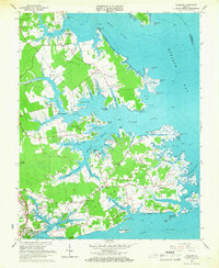
1965 Map of Achilles
USGS Topo · Published 1967About this map
Mobjack Bay and the York River define this intricate coastal landscape, where the Virginia Peninsula meets the Chesapeake Bay's interconnected estuaries. In the mid-1960s, the area remained a network of water-dependent landings and family-named necks, including Robins Neck and Saddlers Neck. The presence of Roanes Wharf and Severn Wharf speaks to a lingering maritime economy, while inland clusters like Achilles and Bena serve as centers for the local rural community.
Find a feature on this map
96 named features on this map. Tap any name to fly to it.
Don’t see what you’re looking for? This feature index may not catch every label — zoom into the map to look around manually.
Map Details
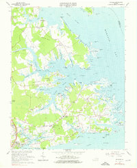
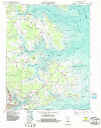
Editions of this 1965 Achilles Map
3 editions found
Other maps of this area

1906 · Williamsburg
USGS Topo · 1:62,500

1907 · Yorktown
USGS Topo · 1:62,500

1907 · Hampton
USGS Topo · 1:62,500

1916 · Mathews
USGS Topo · 1:62,500

1917 · Mathews
USGS Topo · 1:62,500

1943 · Yorktown
USGS Topo · 1:62,500

1943 · Richmond
USGS Topo · 1:250,000

1944 · Yorktown
USGS Topo · 1:24,000

1944 · Messick
USGS Topo · 1:24,000

1944 · Harris Grove
USGS Topo · 1:24,000