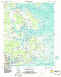
1965 Map of Achilles
USGS Topo · Published 1987About this map
Robins Neck and the surrounding Chesapeake Bay lowlands define this survey of Gloucester County's tidal peninsulas. The landscape is a network of complex estuaries and landings, where the Ware River, Severn River, and York River converge toward Mobjack Bay. Small waterfront settlements and agricultural hamlets like Achilles, Naxera, and Bena are interconnected by winding roads that follow the high ground between marshes. The map documents the maritime-oriented life of the region, featuring multiple landings such as Roanes Wharf and Severn Wharf. Significant genealogical landmarks are scattered throughout the necks, including Groves Memorial Ch and the Old Groves Mem Cem. To the south, the transition toward the mouth of the York River is marked by Gloucester Point and Gloucester Banks, capturing the infrastructure of this coastal community during the mid-1960s.
Find a feature on this map
98 named features on this map. Tap any name to fly to it.
Don’t see what you’re looking for? This feature index may not catch every label — zoom into the map to look around manually.
Map Details
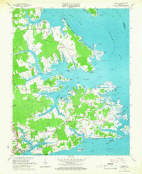
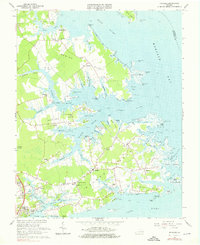
Editions of this 1965 Achilles Map
3 editions found
Other maps of this area

1906 · Williamsburg
USGS Topo · 1:62,500

1907 · Yorktown
USGS Topo · 1:62,500

1907 · Hampton
USGS Topo · 1:62,500

1916 · Mathews
USGS Topo · 1:62,500

1917 · Mathews
USGS Topo · 1:62,500

1943 · Yorktown
USGS Topo · 1:62,500

1943 · Richmond
USGS Topo · 1:250,000

1944 · Yorktown
USGS Topo · 1:24,000

1944 · Messick
USGS Topo · 1:24,000

1944 · Harris Grove
USGS Topo · 1:24,000