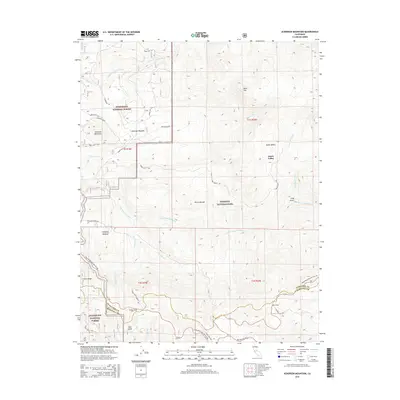
2015 Map of Ackerson Mountain
USGS Topo · Published 2015About this map
Yosemite National Park and the Stanislaus National Forest dominate this landscape, meeting along a boundary that divides the high meadows from the forest’s managed timberlands. The terrain is defined by the steep drainage basins of the Middle Tuolumne River and the S Fork Tuolumne River, which carve through the Sierra Nevada granite. At higher elevations, the settlement of Aspen Valley and the open reach of Ackerson Meadow provide a stark contrast to the surrounding forested slopes. Along the southern edge, the historic passage of the Tioga Road / Big Oak Flat Rd winds through Crane Flat and past Gin Flat, marking the primary route for early travelers entering the heart of the park. This topographic study captures the area's network of forest routes, such as Evergreen Rd, and the distinct ridgelines of Crocker Ridge and Ackerson Mountain.
Find a feature on this map
38 named features on this map. Tap any name to fly to it.
Don’t see what you’re looking for? This feature index may not catch every label — zoom into the map to look around manually.
Map Details
Editions of this 2015 Ackerson Mountain Map
This is the sole edition of this map. No revisions or reprints were ever made.
Other maps of this area

1897 · Yosemite
USGS Topo · 1:125,000

1900 · Yosemite
USGS Topo · 1:125,000

1903 · Yosemite
USGS Topo · 1:125,000

1909 · Yosemite
USGS Topo · 1:125,000

1947 · El Portal
USGS Topo · 1:24,000

1947 · Mariposa
USGS Topo · 1:250,000

1947 · El Portal
USGS Topo · 1:62,500
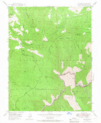
1947 · Kinsley
USGS Topo · 1:24,000

1948 · Mariposa
USGS Topo · 1:250,000
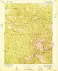
1949 · Kinsley
USGS Topo · 1:24,000