
1947 Map of El Portal
USGS Topo · Published 1953About this map
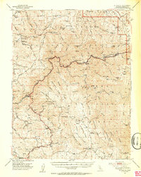
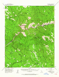
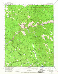
Merced River corridors and the steep canyons of the western Sierra Nevada define this mid-century survey, capturing the gateway to Yosemite National Park just after World War II. The landscape is a complex patchwork of public lands, including the Stanislaus National Forest and Sierra National Forest, where resource management is marked by the Kinsley Guard Station and Mariposa Guard Sta. Transportation is anchored by the Yosemite All-Year Highway and the older Coulterville Road, tracing routes that supported both early tourism and local industry.
Find a feature on this map
131 named features on this map. Tap any name to fly to it.
Don’t see what you’re looking for? This feature index may not catch every label — zoom into the map to look around manually.
Map Details
Editions of this 1947 El Portal Map
4 editions found
Other maps of this area

1893 · Sonora
USGS Topo · 1:125,000

1896 · Sonora
USGS Topo · 1:125,000

1897 · Sonora
USGS Topo · 1:125,000

1897 · Yosemite
USGS Topo · 1:125,000

1898 · Sonora
USGS Topo · 1:125,000

1900 · Yosemite
USGS Topo · 1:125,000

1903 · Yosemite
USGS Topo · 1:125,000

1909 · Yosemite
USGS Topo · 1:125,000

1912 · Mariposa
USGS Topo · 1:125,000

1919 · Indian Gulch
USGS Topo · 1:48,000