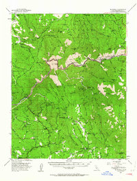
1947 Map of El Portal
USGS Topo · Published 1964About this map
The Merced River canyon serves as the primary artery through this Mariposa County landscape, where the All-Year Highway snakes alongside the water toward the western entrance of Yosemite National Park. This mid-century survey captures the region's transition from a rugged mining and ranching frontier to a gateway for recreation. Notable infrastructure includes the Cement Plant and the Geological Exhibit near Incline, while the northern peaks are marked by historic outposts like the McCauley Ranch (Old Stage Sta) and Jenkins Ranch.
Find a feature on this map
104 named features on this map. Tap any name to fly to it.
Don’t see what you’re looking for? This feature index may not catch every label — zoom into the map to look around manually.
Map Details
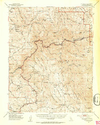
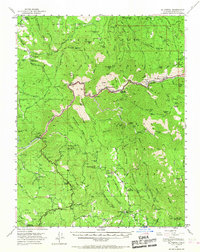
Editions of this 1947 El Portal Map
4 editions found

Other maps of this area

1893 · Sonora
USGS Topo · 1:125,000

1896 · Sonora
USGS Topo · 1:125,000

1897 · Sonora
USGS Topo · 1:125,000

1897 · Yosemite
USGS Topo · 1:125,000

1898 · Sonora
USGS Topo · 1:125,000

1900 · Yosemite
USGS Topo · 1:125,000

1903 · Yosemite
USGS Topo · 1:125,000

1909 · Yosemite
USGS Topo · 1:125,000

1912 · Mariposa
USGS Topo · 1:125,000

1919 · Indian Gulch
USGS Topo · 1:48,000