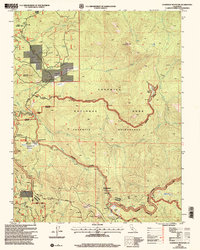
2001 Map of Ackerson Mountain
USGS Topo · Published 2004About this map
Ackerson Mountain and the high Sierra Nevada terrain define this landscape at the western entrance to the national park system. The map documents the intricate management boundaries between the Stanislaus National Forest, Yosemite National Park, and the Yosemite Wilderness. Remote outposts and seasonal ranching history are visible through sites like Peach Growers and Hazel Green Ranch.
Find a feature on this map
33 named features on this map. Tap any name to fly to it.
Don’t see what you’re looking for? This feature index may not catch every label — zoom into the map to look around manually.
Map Details
Editions of this 2001 Ackerson Mountain Map
This is the sole edition of this map. No revisions or reprints were ever made.
Other maps of this area

1897 · Yosemite
USGS Topo · 1:125,000

1900 · Yosemite
USGS Topo · 1:125,000

1903 · Yosemite
USGS Topo · 1:125,000

1909 · Yosemite
USGS Topo · 1:125,000

1947 · El Portal
USGS Topo · 1:24,000

1947 · Mariposa
USGS Topo · 1:250,000

1947 · El Portal
USGS Topo · 1:62,500
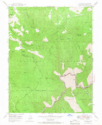
1947 · Kinsley
USGS Topo · 1:24,000

1948 · Mariposa
USGS Topo · 1:250,000
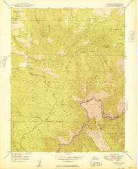
1949 · Kinsley
USGS Topo · 1:24,000