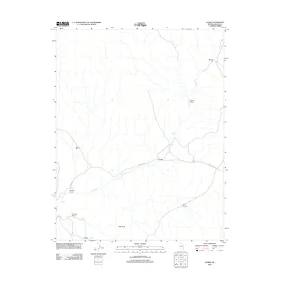
2012 Map of Acoma
USGS Topo · Published 2012About this map
Acoma and Joseco anchor this high-desert landscape in Lincoln County, where seasonal water sources and expansive flats defined early settlement patterns. The drainage of Clover Creek serves as a central geographic corridor, flanked by the broad reaches of Panaca Flat to the west and Beaver Dam Flat to the southeast. Isolated springs such as Acoma Spring, Five Mile Spring, and Cave Spring provided critical water points in this arid environment, often associated with the small settlements and ranching outposts shown here.
Find a feature on this map
20 named features on this map. Tap any name to fly to it.
Don’t see what you’re looking for? This feature index may not catch every label — zoom into the map to look around manually.
Map Details
Editions of this 2012 Acoma Map
This is the sole edition of this map. No revisions or reprints were ever made.
Other maps of this area

1885 · Pioche
USGS Topo · 1:250,000

1886 · Pioche
USGS Topo · 1:250,000

1954 · Caliente
USGS Topo · 1:250,000

1958 · Docs Pass
USGS Topo · 1:24,000

1959 · Caliente
USGS Topo · 1:250,000
1972 · Uvada
USGS Topo · 1:24,000
1972 · Mosey Mtn
USGS Topo · 1:24,000
1972 · Acoma
USGS Topo · 1:24,000
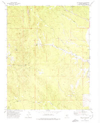
1972 · Dow Mountain
USGS Topo · 1:24,000
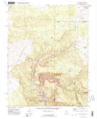
1972 · Pine Park
USGS Topo · 1:24,000