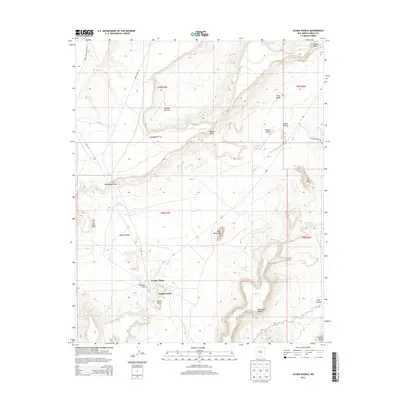
2013 Map of Acoma Pueblo
USGS Topo · Published 2013About this map
Acoma Pueblo and the surrounding high-desert mesas dominate this landscape in western New Mexico. This region is defined by ancient sandstone formations and deep cultural significance, where the Acoma Village sits perched upon a sheer-walled mesa. The cartography traces the intricate drainage patterns of Acoma Cr and the Cañada de Cruz, while highlighting landmarks with evocative names like Deadmans Rock, Eye of the Moon, and Dinosaur Rock.
Find a feature on this map
29 named features on this map. Tap any name to fly to it.
Don’t see what you’re looking for? This feature index may not catch every label — zoom into the map to look around manually.
Map Details
Editions of this 2013 Acoma Pueblo Map
This is the sole edition of this map. No revisions or reprints were ever made.
Other maps of this area

1883 · Mt. Taylor
USGS Topo · 1:250,000

1886 · Mt. Taylor
USGS Topo · 1:250,000

1892 · Mt. Taylor
USGS Topo · 1:250,000

1899 · Mt. Taylor
USGS Topo · 1:250,000

1917 · Cerro Verde
USGS Topo · 1:125,000

1917 · Broom Mountain
USGS Topo · 1:125,000

1954 · Socorro
USGS Topo · 1:250,000

1957 · Laguna
USGS Topo · 1:24,000

1957 · Mc Cartys
USGS Topo · 1:24,000

1957 · Cubero
USGS Topo · 1:24,000