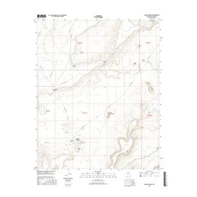
2017 Map of Acoma Pueblo
USGS Topo · Published 2017About this map
Acoma Village, often known as Sky City, sits atop a sandstone bluff surrounded by a complex landscape of mesas and monoliths. This 2017 study illustrates the immediate environs of Acoma Pueblo, where the deep cultural history of the Acoma people is etched into the terrain. Distinctive geological features such as Acoma Rock, Dinosaur Rock, and the massive Mesa Encantada dominate the horizon, while smaller formations like Eye of the Moon and Rabbit Butte serve as local landmarks. The drainage of Acoma Cr winds through Acoma Valley, providing a vital geographical artery through the high desert. Modern infrastructure is represented by a network of local routes including Indian Svc Rte 22 and Haaku Rd, which connect the ancient settlement to the surrounding plateaus of Woods Mesa and Seama Mesa.
Find a feature on this map
32 named features on this map. Tap any name to fly to it.
Don’t see what you’re looking for? This feature index may not catch every label — zoom into the map to look around manually.
Map Details
Editions of this 2017 Acoma Pueblo Map
This is the sole edition of this map. No revisions or reprints were ever made.
Other maps of this area

1883 · Mt. Taylor
USGS Topo · 1:250,000

1886 · Mt. Taylor
USGS Topo · 1:250,000

1892 · Mt. Taylor
USGS Topo · 1:250,000

1899 · Mt. Taylor
USGS Topo · 1:250,000

1917 · Cerro Verde
USGS Topo · 1:125,000

1917 · Broom Mountain
USGS Topo · 1:125,000

1954 · Socorro
USGS Topo · 1:250,000

1957 · Laguna
USGS Topo · 1:24,000

1957 · Mc Cartys
USGS Topo · 1:24,000

1957 · Cubero
USGS Topo · 1:24,000