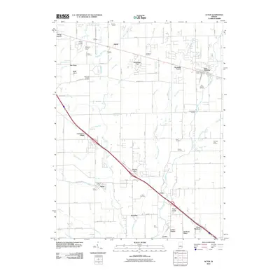
2010 Map of Acton
USGS Topo · Published 2010About this map
Sugar Creek and Buck Creek define the drainage of this suburban and agricultural corridor southeast of Indianapolis during the early 21st century. The map reveals a landscape in transition, where established rural communities like Acton and New Palestine are surrounded by an increasing density of residential developments such as Charlesmac Village, Brookville Heights, and Green Meadows. This period of growth is juxtaposed with numerous family and community burial sites, including the Old Sugar Creek Cemetery and Buck Creek Christian Cemetery, which offer valuable data for genealogists tracking local lineages.
Find a feature on this map
124 named features on this map. Tap any name to fly to it.
Don’t see what you’re looking for? This feature index may not catch every label — zoom into the map to look around manually.
Map Details
Editions of this 2010 Acton Map
This is the sole edition of this map. No revisions or reprints were ever made.
Other maps of this area

1948 · Indianapolis East
USGS Topo · 1:24,000

1948 · Beech Grove
USGS Topo · 1:24,000

1952 · Cumberland
USGS Topo · 1:24,000

1952 · Greenfield
USGS Topo · 1:24,000

1952 · Fountaintown
USGS Topo · 1:24,000

1953 · Greenwood
USGS Topo · 1:24,000

1953 · Shelbyville
USGS Topo · 1:24,000

1953 · Acton
USGS Topo · 1:24,000

1953 · Boggstown
USGS Topo · 1:24,000

1953 · Cincinnati
USGS Topo · 1:250,000