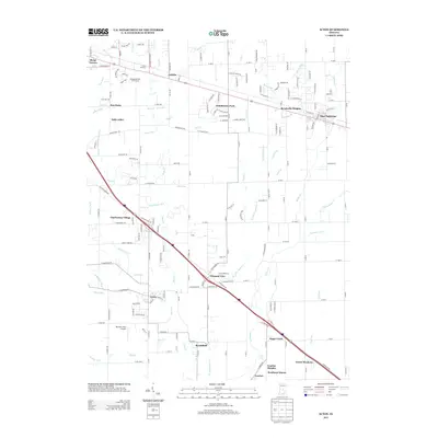
2013 Map of Acton
USGS Topo · Published 2013About this map
Buck Cr and Sugar Cr define the drainage of this suburban landscape southeast of Indianapolis during the early 21st century. The map reveals a dense network of residential subdivisions and historical crossroads, where established communities like Acton and New Palestine meet newer developments such as Schildmeier Park and Brookville Heights. Transportation corridors dominate the layout, with major thoroughfares bisecting the terrain and connecting these growing residential hubs.
Find a feature on this map
191 named features on this map. Tap any name to fly to it.
Don’t see what you’re looking for? This feature index may not catch every label — zoom into the map to look around manually.
Map Details
Editions of this 2013 Acton Map
This is the sole edition of this map. No revisions or reprints were ever made.
Other maps of this area

1948 · Indianapolis East
USGS Topo · 1:24,000

1948 · Beech Grove
USGS Topo · 1:24,000

1952 · Cumberland
USGS Topo · 1:24,000

1952 · Greenfield
USGS Topo · 1:24,000

1952 · Fountaintown
USGS Topo · 1:24,000

1953 · Greenwood
USGS Topo · 1:24,000

1953 · Shelbyville
USGS Topo · 1:24,000

1953 · Acton
USGS Topo · 1:24,000

1953 · Boggstown
USGS Topo · 1:24,000

1953 · Cincinnati
USGS Topo · 1:250,000