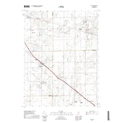
2019 Map of Acton
USGS Topo · Published 2019About this map
Acton sits at the heart of this landscape where the suburban expansion of southeast Indianapolis meets the historic farming communities of Marion, Shelby, and Hancock counties. The map reveals a dense network of local heritage sites, particularly in its graveyard data, which includes the Mount Pleasant Methodist Church Cem and the New Palestine Cem. These sites, along with others like the Schildmeier Cem and Freeman Cem, provide critical touchpoints for genealogical research in an area once dominated by small family holdings.
Find a feature on this map
178 named features on this map. Tap any name to fly to it.
Don’t see what you’re looking for? This feature index may not catch every label — zoom into the map to look around manually.
Map Details
Editions of this 2019 Acton Map
This is the sole edition of this map. No revisions or reprints were ever made.
Other maps of this area

1948 · Indianapolis East
USGS Topo · 1:24,000

1948 · Beech Grove
USGS Topo · 1:24,000

1952 · Cumberland
USGS Topo · 1:24,000

1952 · Greenfield
USGS Topo · 1:24,000

1952 · Fountaintown
USGS Topo · 1:24,000

1953 · Greenwood
USGS Topo · 1:24,000

1953 · Shelbyville
USGS Topo · 1:24,000

1953 · Acton
USGS Topo · 1:24,000

1953 · Boggstown
USGS Topo · 1:24,000

1953 · Cincinnati
USGS Topo · 1:250,000